At the Philippine volcano Mayon, the eruption has increased significantly in the last few hours. PHILVOLCS upgraded the alarm status from 3 to 4. The exclusion zone has been enlarged to 8 km. A further increase in activity is likely. A brief message states that explosions and lava fountains emanate from the lava dome. The seismic have increased significantly. The VAAC Tokyo reports volcanic ash at 9 km altitude. MIROVA registers a very high thermal radiation of 1019 MW. The biggest danger are pyroclastic flows.
 Marc Szeglat
Gunung Agung: the volcano is erupting
Yesterday, Gunung Agung on Bali started the eruption we have been waiting for more than 2 months. The volcano erupts an ash cloud that rises 4 km above the crater. The volcano alert level has been increased to red. The ash cloud obstructs air traffic and flights are canceled.
Aerials of Campi Flegrei and Solfatara
Aerials, shot with a drone, of Campi Flegrei and Solfatara crater close to Naples in Italy. This volcano video was recorded in June 2017 with a DJI Phantom in 4K resolution.
Campi Flegrei is a huge caldera volcano, not far away from well known Mount Vesuvius. Campi Flegrei erupted before 39.000 years, which effected wide parts of Europe. Volcanic ashes were dicovered in distances of about 1500 km.
Aerials of Stromboli shot with a drone
Volcano video of Stromboli in Italy. The aerial footage was shot with a drone in June 2017. Stromboli resumed to its normal activity after a 3 years long break. I used a DJI Phantom for shooting this 4K video. Stromboli is, next to Etna, Europe’s most active volcano. It is known for its frequent strombolian eruptions.
Kilauea: Ocean entry
This volcano video shows the ocean entry of lava flow 61g on Big Island Hawaii. The lava flow starts close to Kilauea’s Puʻu ʻŌʻō – cone and reaches the ocean by Kamokuna.
This shots were filmed in October 2016. I used a small drone for the aerials.
Kilauea: Ocean entry on Hawaii

On September 13, 2016, I set off for Hawaii. Of course direct flights were invaluable and so I booked one with 2 stopovers. Already on the first one my luggage got stuck: in the backpack there were not only clothes but also a part of my photo equipment. Until today the luggage remained lost.
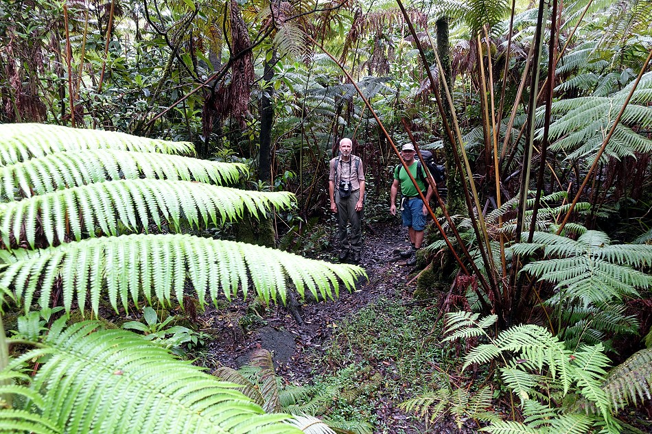
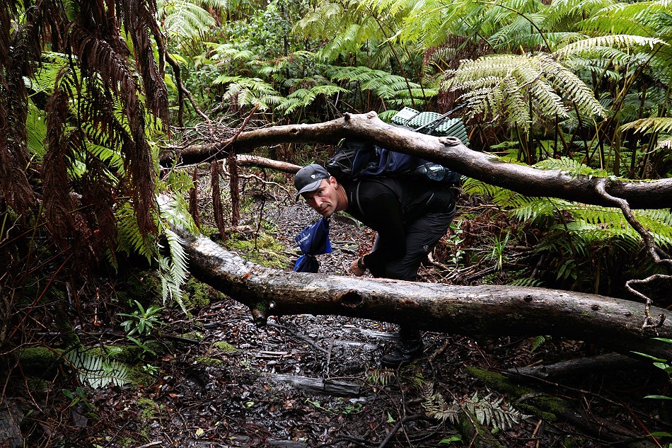
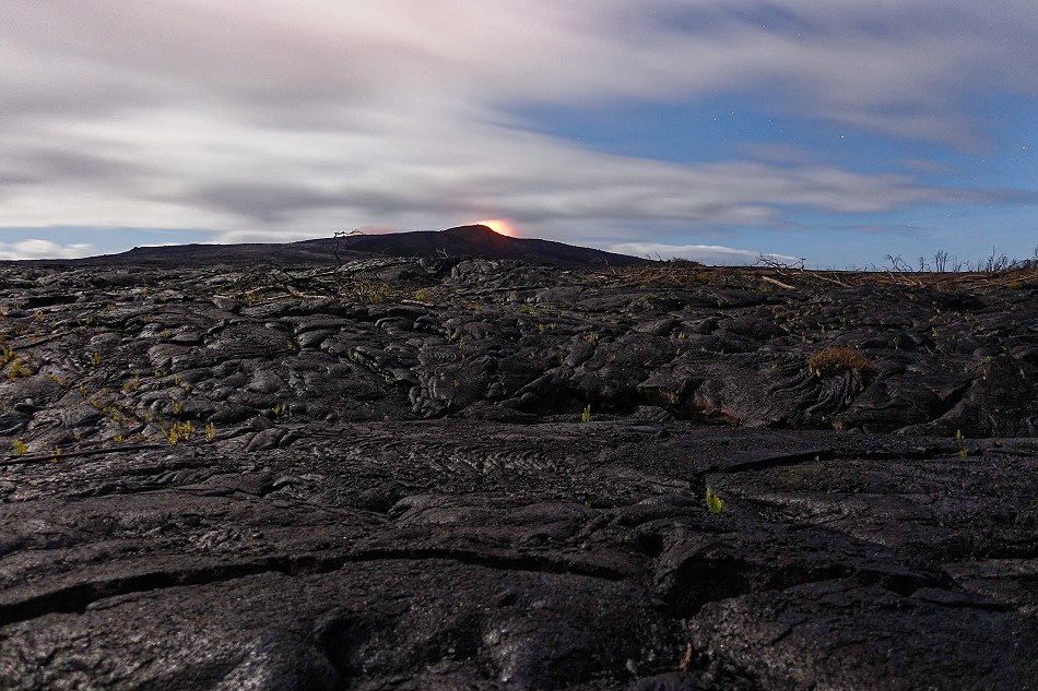
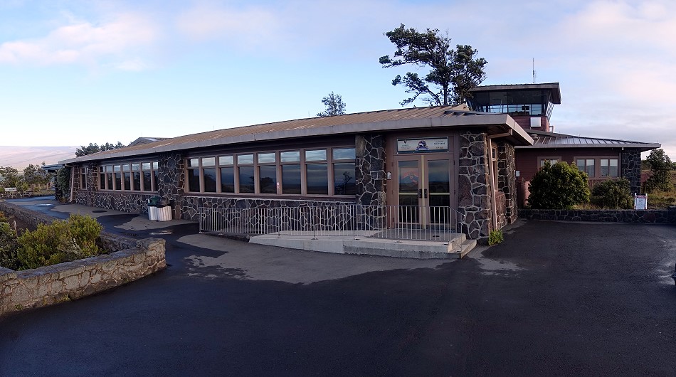
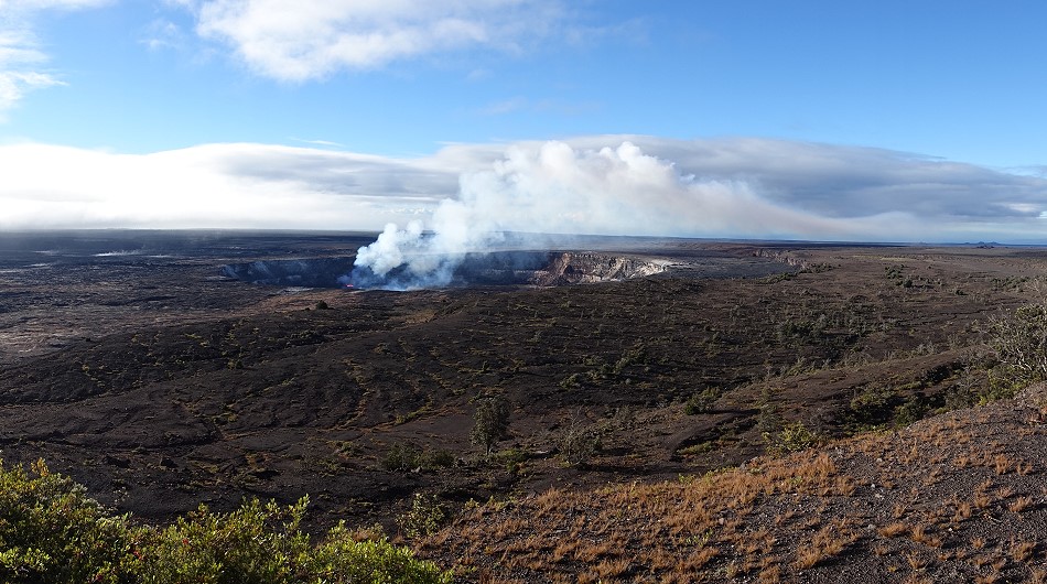
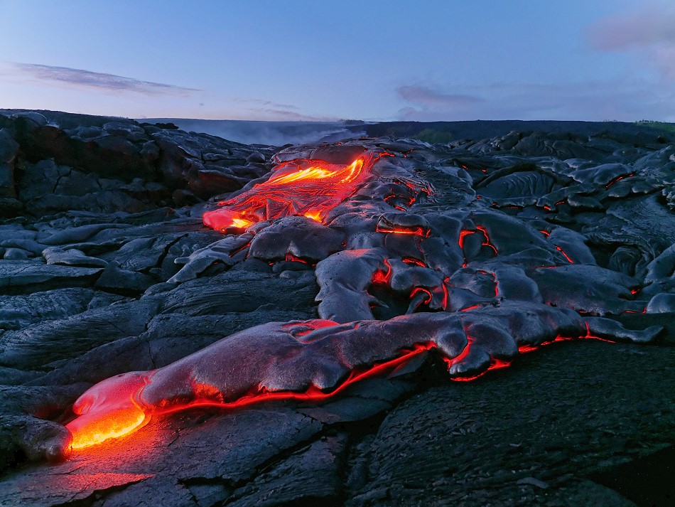
On site I met with 2 friends. Together we explored the volcano Kilauea. It is the smaller of the large shield volcanoes of Big Island Hawaii. In the Halema’uma’u crater a lava lake was bubbling and it stood so high that it could be seen from the Jagger Museum.
In the west pit of the Pu’u ‘O’o crater cone a 2nd lava lake was boiling. The hike here was long and very humid due to the eternal rain. When I finally reached the crater and stumbled to the lava lake, it was foggy and I could see little. The lava lake had a diameter of about 50 meters and was covered in thick gas clouds. There were no useful shots and so I started the long way back. Back at my accommodation in Mountain View, the view of Pu’u ‘O’o was cloudless!
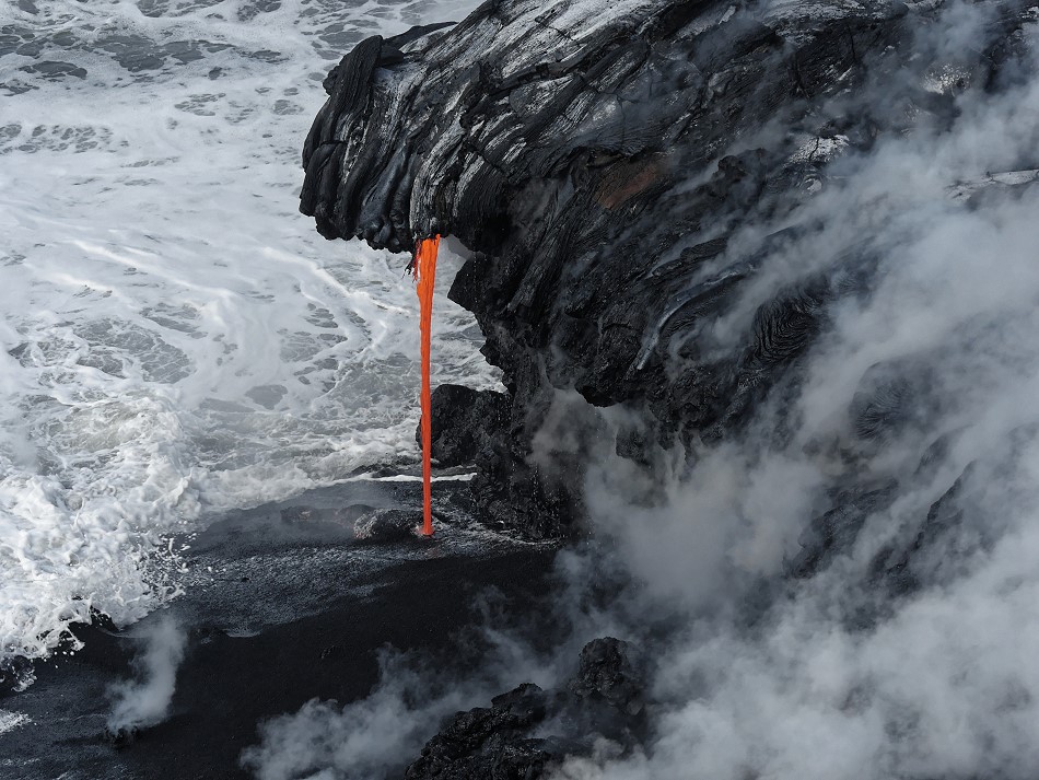
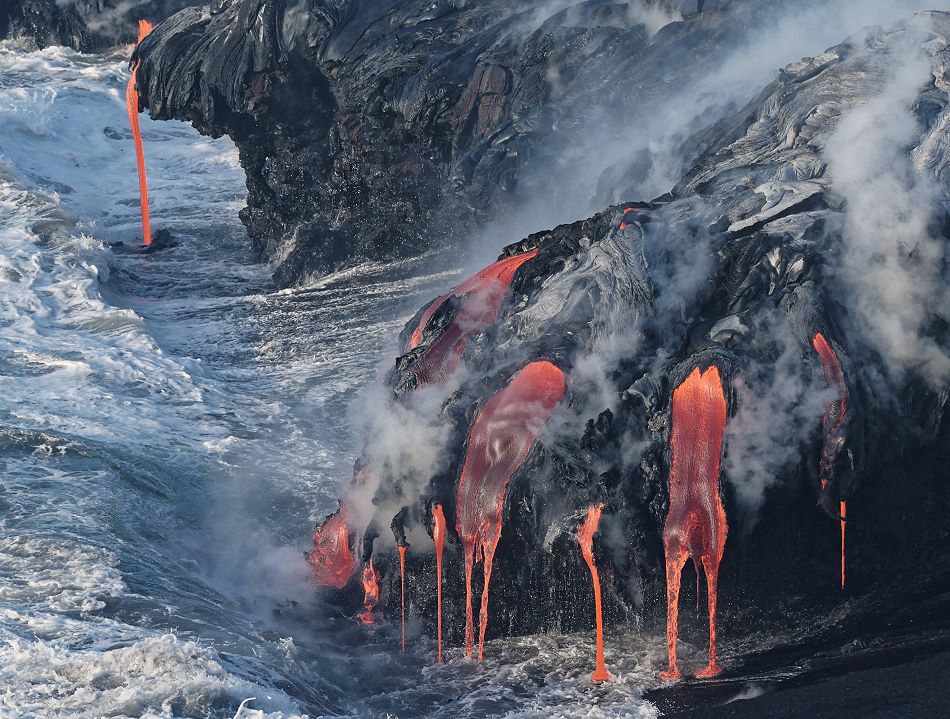
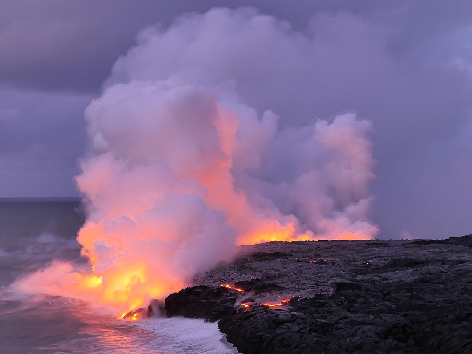
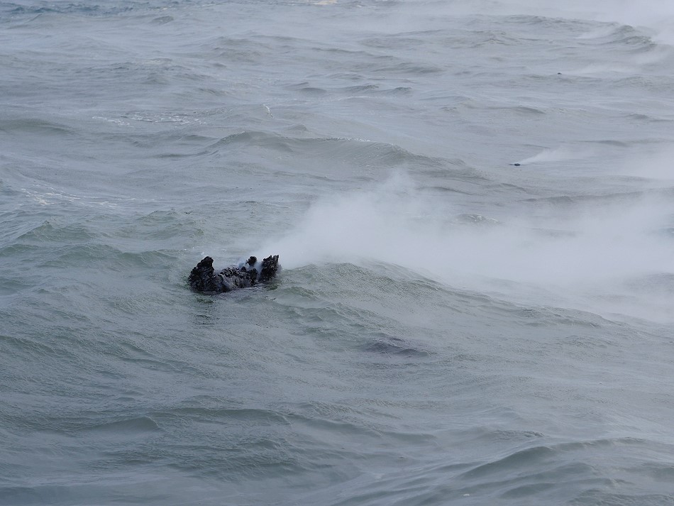
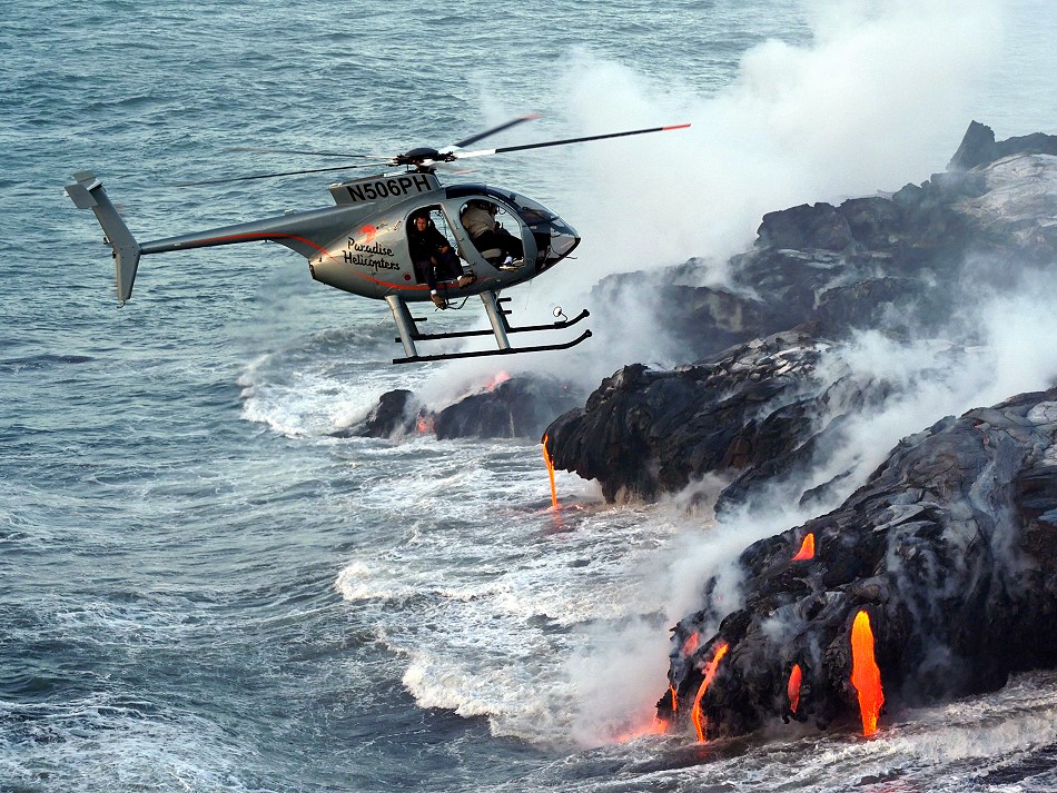
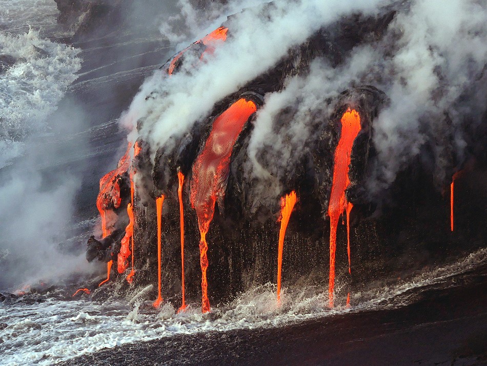
The ocean entry
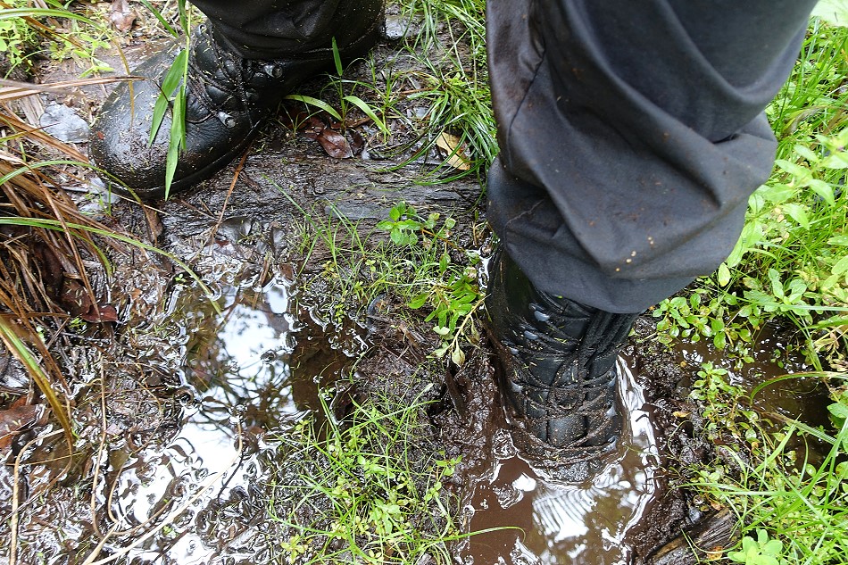
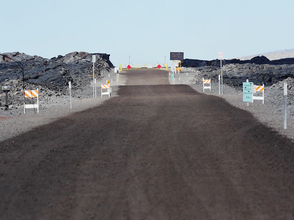
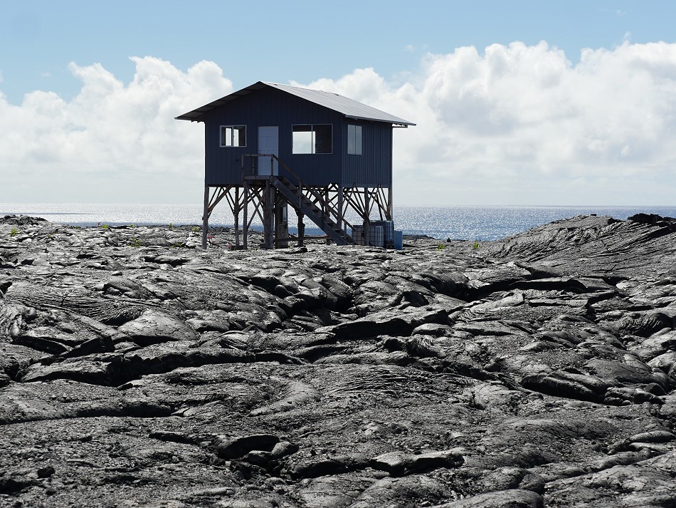
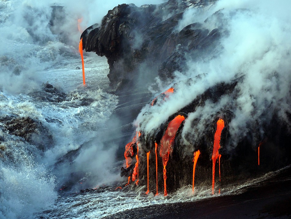 From Pu’u ‘O’o the lava flows start towards the ocean. They have to travel 6 miles before they reach the Pacific Ocean. Recently, lava flow 61g started to enter the Pacific Ocean and wrest new land from it. This land, in the form of a delta of lava, is extremely unstable: the lava cliffs are washed under by the waves, or blown off by an underground lava flow. Thus, the HVO explicitly warns against entering the lava delta. This is also not reachable without a certain amount of effort. The emergency coastal road was closed and kept open for pedestrians only. Resourceful businessmen from Kalapana rented bicycles for 20 USD, with which the 4 miles to the “ocean entry” could be managed relatively fast. Lava flow 61g interrupted the coastal road on a width of 0.6 miles. The lava field was of course closed and who wanted to admire the “ocean entry” from next proximity had to sneak once again. Of course I did that several times. But you should not underestimate the heat on the coastal plain. My water consumption was enormous. It was increased then still with 2 marches on the Pali. 1.2 miles inland a little glowing lava found its way to the surface. Otherwise 61g flowed completely underground through tubes. I gave up the attempt to stay overnight on the fresh lava field. The underfloor heating was set too high.
The lava at the “ocean entry” was especially beautiful from the sea side. We went to sea 3 times, which was not a cheap pleasure. Depending on the boat you had to calculate with 200 – 250 USD per trip. The twilight trips were mostly booked out 2 days in advance. 2 trips were also cancelled on site. Nevertheless, the impressions burned into my memory, especially since the captain of the “Lava One” steered us right up to the cliffs. Officially this is of course forbidden in Hawaii!
Masaya: Lava lake in Nicaragua
Masaya is a volcano close to Nicaraguas capital Managua. In the crater Santiago an active lava lake is boiling since December 2015. I visited the volcano with a team of the Volcanological Society e.V. and we get a permit to stay on the crater rim during day and night. So, I was able to shot this stunning volcano footage of a boiling lava lake.
About Masaya volcano
Masaya is not just the most active volcano of Nicaragua, its a very unusual one, too. The volcano lies within the Las Sierras shield volcano and is a 6 x 11 km caldera with walls up to 300 m high. The basaltic caldera is filled on its NW end by more than a dozen vents that erupted along a circular, 4-km-diameter fracture system. The twin volcanoes of Nindirí and Masaya were constructed at the southern end of the fracture system and contain multiple summit craters. One of this is the currently active Santiago crater. A lava flow from the 1670 eruption overtopped the north caldera rim. (Source USGS)
Mount Etna: Aerials of the volcano
I shot this aerials from Mount Etna with a drone in 4k. One of my first volcano video shot with a drone, so I hope you can enjoy it.
Herculaneum and the skeletons
This volcano video shows the destroyed roman city Herculaneum and its Skeletons in the boathouses. Herculaneum was burried under a thick layer of volcanic deposits during the well known eruption from Mount Vesuvius in 79 AD.
Pompeii and the plaster casts
The roman city Pomepii was destroyed by pyroclastic flows from Mount Vesuvius in 79 AD. The bodies of the victims are shown as plaster casts.