Since last night, Mount Kanlaon on Negros Island has been experiencing renewed eruptive activity marked by a short but moderately explosive event followed by sustained ash emission.
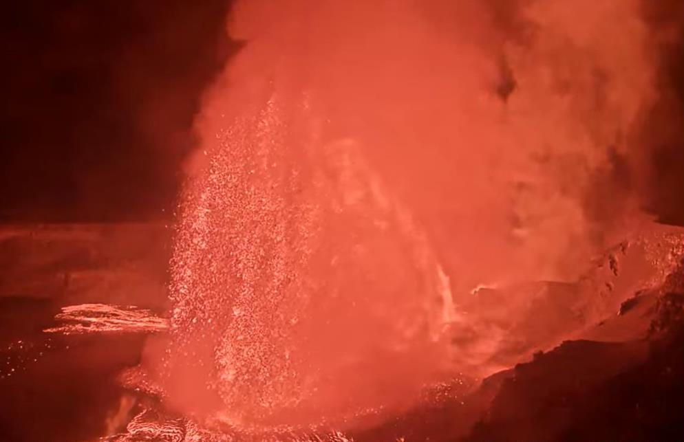
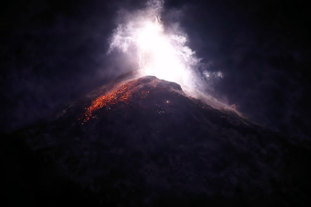
At 7:04 PM local time on 26 February 2026, a brief explosive eruption occurred at the summit crater. The initial phase lasted approximately two minutes and was recorded by the full network of seismic and infrasound monitoring stations. The explosion generated a dense, dark gray ash plume that rose about 2,500 meters above the crater before drifting toward the southwest. Volcanic lightning was observed within the eruption column, indicating strong turbulence and significant ash content.
During the explosive burst, incandescent ballistic fragments were ejected from the summit area, landing up to 1.5 kilometers from the crater. Pyroclastic density currents descended the southeastern and eastern upper slopes, remaining within roughly two kilometers of the summit. A pressure wave associated with the explosion was detected by infrasound instruments and was reportedly heard as a booming sound within a 30-kilometer radius. Rumbling was even reported at much greater distances, likely due to atmospheric conditions that enhanced sound propagation.
Two minutes after the initial explosion, activity transitioned into a prolonged phase of ash emission that continued for about 77 minutes. Strong winds at elevations between 4 and 5 kilometers dispersed ash across a wide հատված of the Negros Island Region. The heaviest ashfall was reported in parts of Negros Occidental, particularly in the municipalities of La Castellana and Pontevedra, where communities experienced light to heavy ash deposition accompanied by a noticeable sulfurous odor.
Authorities continue to monitor the volcano closely as ashfall reports and field assessments are consolidated.