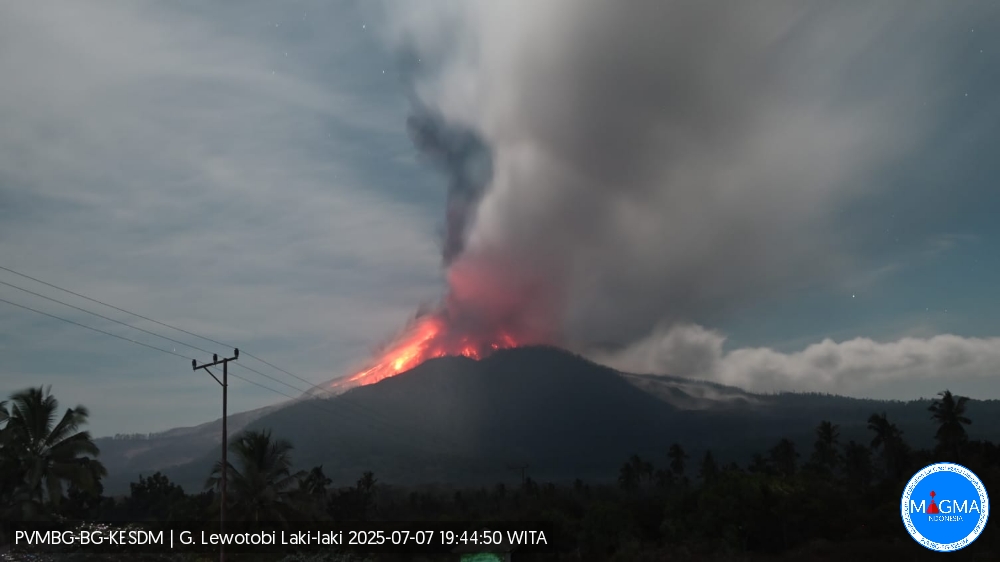
Lewotobi Laki-Laki Ejects Ash 13 Kilometres High – Lava Dome Partially Destroyed by Eruption
Maumere, July 8, 2025 – Indonesia’s Lewotobi Laki-Laki volcano remains highly active. Following a powerful eruption in the morning, another major explosion occurred at 7:32 p.m. WITA. The resulting ash plume rose 13,000 metres above the crater, reaching a total altitude of 14,584 metres above sea level. In addition to ash, incandescent tephra was ejected and blanketed large parts of the volcano’s flanks. Air traffic between Bali and Australia was once again disrupted by the volcanic ash cloud.
Seismic Activity Low Prior to the Eruption
Notably, the seismic activity prior to the eruption was minimal. According to the Indonesian volcanology agency (VSI), only two volcano-tectonic earthquakes, four low-frequency events, and seven strong degassing episodes were recorded between 6:00 p.m. and midnight WITA. At Lewotobi, even small seismic changes can sometimes signal an impending eruption—though there are also days with elevated activity that do not lead to explosive events.
Lava Dome in the Crater Long Overlooked – Private Drone Footage Offers New Insights
During quieter phases, a flat lava dome tends to form in the crater, gradually clogging the volcano’s vent system. This viscous lava plug had barely been addressed in official VSI reports until recently. Its existence became public knowledge thanks to drone footage shared by independent observer Mbah Lurah. His videos show the so-called “pancake dome,” though he refers to it simply as “frozen lava.” Images captured on July 6—just hours before the first major explosion—already show a thick lava flow escaping through a depression on the crater rim.
In earlier footage from June, dense steam clouds mostly obscured the crater floor. Only one frame revealed a faint red glow, suggesting ongoing dome growth. The work of independent drone operators like Mbah Lurah has become crucial, particularly given that no specific eruption warnings appear to have been issued by the local VSI observatory.
Eruptions Follow a Pattern – Forecasts Theoretically Possible
The explosive events follow a recognizable pattern: as the dome grows, it increasingly obstructs the vent, causing gas pressure in the system to build. Shortly before an eruption, degassing typically drops sharply—an indication that the system is nearly sealed. When an explosion does occur, part or all of the dome is blown out, sometimes triggering pyroclastic flows.
Although recent eruptions have shown little to no seismic precursors, in principle these patterns could allow for better forecasting. Improved monitoring would not only benefit the local population but also help mitigate disruptions to international air travel.
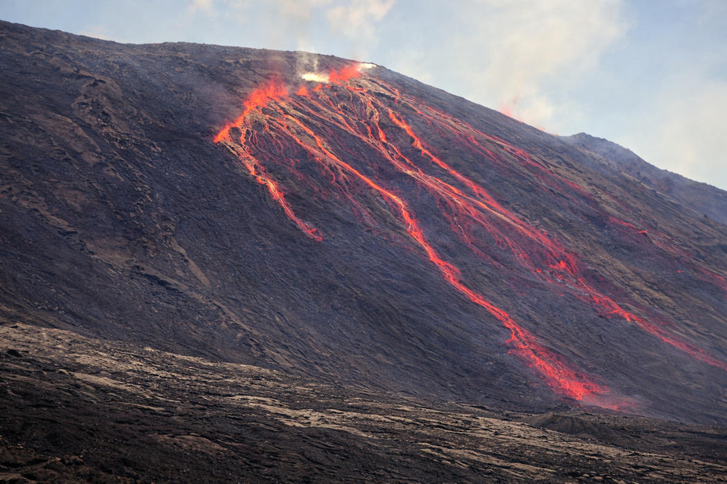 A new eruption began at Piton de la Fournaise on February 13, 2026, shortly after 10:00 a.m. local time.