Central Mid-Atlantic Ridge: Earthquake Mw 6,6

An earthquake of magnitude 6.6 occurred in the central region of the Mid-Atlantic Ridge, the epicenter of which was located between South America and Africa, more precisely 1218 km north of Acaraú in Brazil. The hypocenter was located at 10 km depth. Only last week there had been a strong earthquake in this region.

The border of several continental plates runs along the Mid-Atlantic Ridge. The submarine ridge is the birthplace of the Atlantic Ocean. Because of the divergence of the continental plates, they move apart and do not collide, as is the case in subduction zones. This causes less tension in the rock than at subduction zones and earthquakes occur less frequently.

Indonesia: 2 earthquakes on 18.08.20

Two strong earthquakes shook the southwest coast of the Indonesian island of Sumatra. The quakes had magnitudes of 6.9 and 6.8 with hypocenters at depths of 39 and 10 km. The epicentres were 105 km and 132 km west of Bengkulu. More than 300,000 people live in the city. The quakes occurred in the early morning hours: the first quake manifested at 05.23 and the second one at 05.29. There are no reports of major damage and no tsunami alarm was given.

In relative proximity to the epicentres are numerous volcanoes, of which Kerinici and Anak Krakatau are currently the most active. Sinabung is located in northern Sumatra and a good 800 km away. However, the north of Sumatra was not spared by earthquakes either. Several earthquakes occurred in the area of 3. But these earthquakes might have been too weak to affect the Sinabung.

Philippines: Severe earthquake Mw 6,8

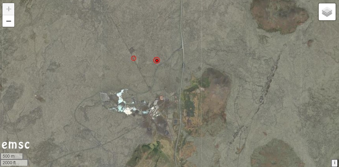
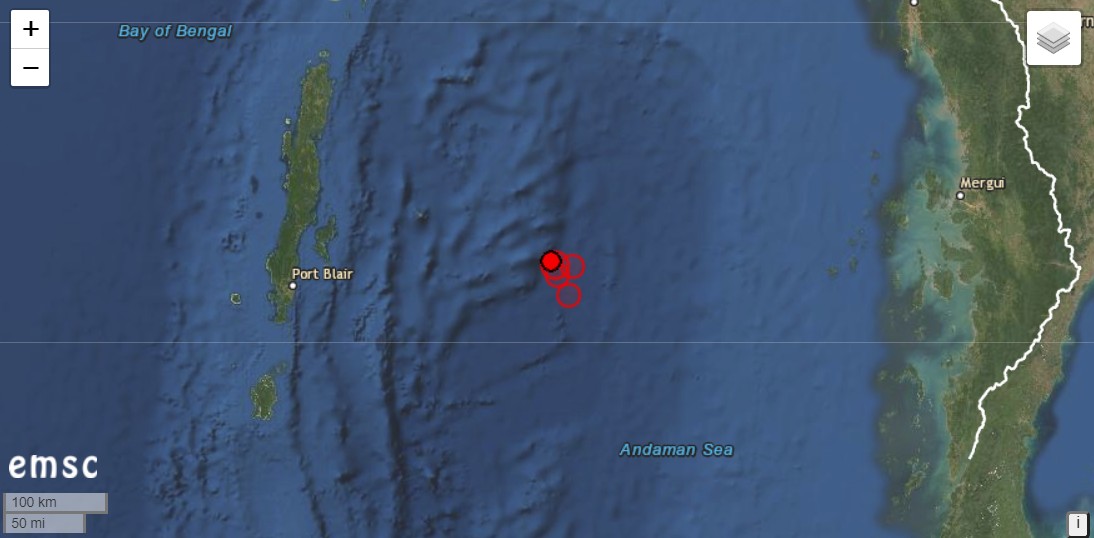
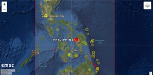
The Philippines were hit by a severe earthquake with a magnitude of 6.8. The hypocenter was located at a depth of 15 km. These data are from EMSC, PHILVOLCS gives the magnitude as 6.6 and the depth as 21 km. The epicenter was located in the Samar Sea. The strait is enclosed by the islands Samar, Leyte and Masbate. The nearest town was San Pedro, 20 km away.

Although it was already a relatively strong earthquake, the damage seems to be limited. This is probably due to the rather great depth of the earthquake’s focus. According to media reports, a family was trapped in their collapsed house. Cracks were discovered on several bridges and in streets. However, the great catastrophe did not occur.

There were (and still are) numerous moderate aftershocks. Most of them have magnitudes in the range of 3.

Strong earthquakes can influence volcanoes in their eruptive behaviour. In fact, there are reports in social media according to which the Taal volcano, a good 400 km away, reacted to the quake with increased steam emissions. Images are circulating with a steam cloud several hundred meters high above the volcano crater. The volcanologists of PHILVOLCS report only a 20 m high steam cloud, as it has been standing over the volcano almost constantly since the end of the eruption in January this year. The cloud in the pictures is called a meteorological cloud. For this, the nearby Mayon volcano probably actually emits a steam plume. Instead of ascending 200-500 m as usual, it reached a height of 750 m today. A volcano-tectonic earthquake was recorded. At Taal Volcano, the number of quakes rose from 2 to 5.

In general, it is probably too early to estimate whether the earthquake will have a lasting effect on the behaviour of the volcanoes. I do not see any signs of an imminent eruption.
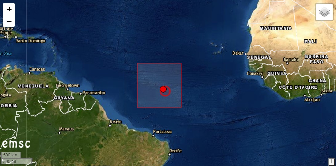
Bali: Earthquake south of the island

Yesterday an earthquake of magnitude 5.1 manifested itself off the southern coast of the Indonesian islands of Bali and Java, with the hypocenter at a depth of 56 km. The earthquake triggered a series of aftershocks, which were at a much lower depth of 10 km. Most of the aftershocks have magnitudes in the range of 3. The earthquakes are associated with the subduction along the Sundab Arc and are not directly related to the volcanism in the region.

A few hundred kilometres further east, similar events occurred in the Sumbawa region. Here, too, numerous earthquakes reduce stresses in the earth’s crust, which are caused by subduction along the Sunda Arc. It can be assumed that there are also tensions in the area between these two spots waiting to be relieved. At any time strong earthquakes can occur at the Sunda Arc, which could even trigger tsunamis.

USA-Alaska: Earthquake Mw 7,8

This morning a strong earthquake of magnitude 7.8 manifested itself off the coast of Alaska. The hypocenter was at a depth of 17 kilometers. The epicenter was located 84 kilometers south of Perryville. A tsunami alarm was sounded. People on the coast of Alaska and the Aleutian Islands were asked to go to higher ground. The data is from the EMSC and may still be subject to change.

Strong earthquakes could effect nearby volcanoes. A few kilometers north of Pennyville is Mount Veniaminof. The volcanoes Mount Pavlof and Mount Chiginagak are also located around the epicenter.

Iceland: Strong earthquake swarm on Reykjanes

The Icelandic peninsula of Reykjanes is again hit by a strong Earthquake swarm. The strongest single quake had a magnitude of 5.0 and manifested itself 1.6 km northwest of Fagradalsfjall, with a hypocentre at 10 km depth. Fagradalsfjall is the highest elevation on Reykjanes with a height of 385 m and lies east of Grindavik. In the end, the epicentre of seismic activity shifted a little to the east, starting from the quake spot north of Grindavik where most of the previous earthquakes occurred.

IMO recorded a total of 936 earth tremors in the Reykjanes area in the last 48 hours. 16 quakes had magnitudes greater than 3, some of them even stronger than M 4.0. I assume that the quakes are related to further magma intrusion. However, an IMO report on this is still pending. However, the Icelandic Meteorological Authority reports that the stronger earth quakes were felt in the southwest of Iceland.

Iceland: New earthquake M 4.1

There was another strong earthquake in Iceland this morning. It had a magnitude of 4.1 and manifested itself on the Reykjanes Peninsula. The epicentre was located 4.1 km north of Grindavik and only about 1 km from the Blue Lagoon and Thorbjörn Volcano. The depth of the hypocentre is estimated to be only 2.5 km. This makes it the closest surface earthquake of this magnitude since the swarm earthquakes started on the peninsula. The local residents should have been well shaken. It remains exciting to wait and see whether reports of crevice openings will come in. Just 2 minutes earlier, there was a quake of magnitude 3.2 at a depth of 2.3 km. Further weaker earthquakes followed. In total IMO registered 40 tremors on Reykjanes in the last 48 hours.

Andaman: Earthquake M 6.1

The Andaman and Nicobar Islands were shaken by an earthquake with a magnitude of 6.1. The hypocentre was 10 km deep. The epicentre manifested 236km east of Port Blair. The Indian Ocean archipelago belongs to India, but geographically it is closer to Myanmar. An aftershock of magnitude 5.6 followed at a depth of only 2 km. There had also been several aftershocks in the 4-magnitude range. Seismologists have been expecting a strong quake in the region (Andaman Sea) for some time, which could trigger a tsunami.

The quake was automatically detected.

Mayotte: more earthquakes

Unlike in the Pacific South Seas, there are no floating pumice carpets or pronounced manifestations of volcanism on the water surface off the island of Mayotte in the Indian Ocean. On the other hand, the ongoing earthquake activity indicates that the probably largest submarine volcanic eruption of modern times is continuing. Yesterday there was an earthquake of magnitude 3.1 at a depth of 32 km. The quake is part of a swarm quake that has lasted since last May and is associated with magma ascent.

Vesuvius: earthquake M 2.1

Yesterday evening a weak earthquake of magnitude 2.1 occurred on Vesuvius near Naples (Italy). The hypocenter was at a depth of 0.35 km. The epicenter manifested itself in the crater. After the earthquake there were several earthquakes in the area of microseismics. A total of 13 earthquakes were registered by the INGV Napoli. The last earthquake to date had a magnitude of 1.3. Such earthquakes occur again and again on Vesuvius and are still no cause for concern. While some researchers see the earthquakes as signs that magmatic fluids are moving underground, other scientists see them as signs of shrinking processes as the volcano continues to cool. If you want to get your own picture of the data situation, you can do so on the new Vesuvius live page.