Earthquake Swarm near Santorini: Study Confirms Massive Magma Intrusion
Between January and March 2025, a powerful earthquake swarm shook the area northeast of Santorini. Thousands of quakes – some exceeding magnitude 5.0 – caused damage to buildings and triggered evacuations. For months, scientists debated whether tectonic processes or rising magma were responsible. A newly published study, led by the GFZ German Research Centre for Geosciences, now provides clear evidence for a magma intrusion.
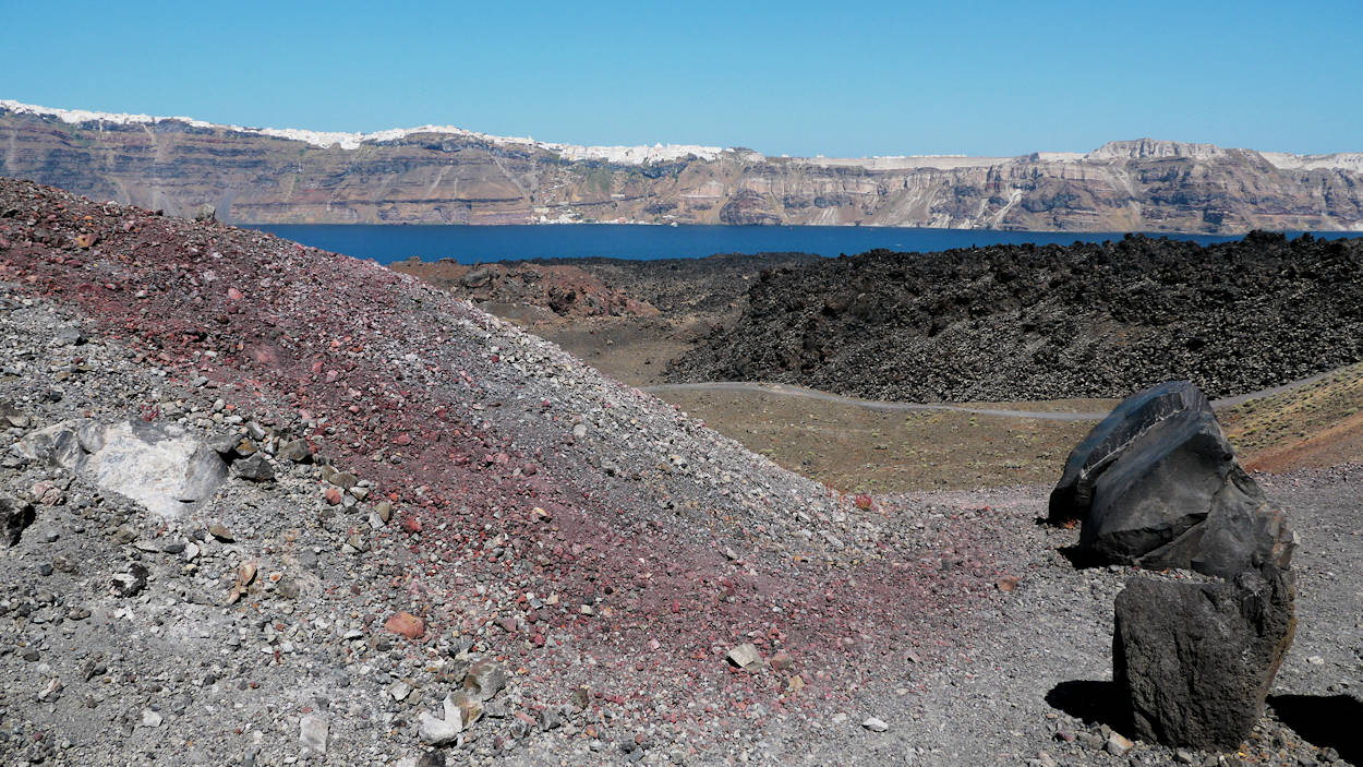
Santorini lies on the Hellenic Volcanic Arc, formed by the collision of the African and Eurasian plates. In addition to the caldera with its islands Nea and Palea Kameni, the active underwater volcano Kolumbo is located nearby. Historically, the region has experienced several eruptions, the last major one occurring in 1950.
For this study, researchers combined seismic data from land stations with measurements from seafloor instruments deployed at Kolumbo. An AI-based method enabled the precise localization of more than 28,000 tremors. The results reveal that roughly 300 million cubic meters of magma rose from deep within the crust and stalled about four kilometers below the seafloor. As it moved upward, the molten rock triggered thousands of earthquakes and tremor phases.
The volume of magma is remarkable: it matches the entire lava output of the 2021 Cumbre Vieja eruption on La Palma and far exceeds the lava volumes of recent Icelandic eruptions.
The seismic crisis had already begun in mid-2024 with minor uplift of Santorini’s surface. In January 2025, earthquake activity intensified and the hypocenters migrated more than ten kilometers toward Kolumbo. Using GPS, satellite radar interferometry, and seismic modeling, researchers were able to reconstruct the magma’s ascent with unprecedented precision.
Another key finding: Santorini and Kolumbo are hydraulically connected. The slight subsidence of the island during magma ascent suggests that their magma systems interact underground. This insight significantly improves hazard assessments for the region.
Monitoring continues as part of the international MULTI-MAREX program, aiming to detect potential eruptions as early as possible.