Tonga: Ship gets into pumice carpet

A sailing ship got caught in a pumice carpet off Tonga island Vava’u. The sailors of the catamaran ROAM reported on facebook about their experience: At noon they passed an area about 50 nautical miles away from Vava’u, where other ships had warned about the pumice carpet. The crew sighted only a few pumice lumps, but smelled the stench of hydrogen sulphide. Carefully they sailed on. In the evening it suddenly sounded as if the catamaran was sailing through glass. Unnoticed, they had fallen into the pumice carpet, which had drifted faster than one would suspect. In the light of the spotlights they discovered a closed pumice blanket in which individual chunks reached the size of basket balls. With the slowest speed they changed course several times to reach free water again. They heard the pumice chunks hit the rudder, but the boat did not suffer any major damage.

Pumice is a volcanic glass that, similar to the black obsidian, cooled quickly after the eruption and formed no (or only small) crystals. Unlike obsidian, pumice is explosively extracted and consists of tephra. So a submarine volcano erupted explosively. Since pumice is formed from very gas-rich magma and contains many pores, the rock floats. Pumice carpets are often found in the volcanic island arches of Tonga, Fiji and Samoa. Here a nameless underwater volcano was probably active on the Vava’u ridge.

Mount Etna on Sicily

Mount Etna, or Etna is an complex-stratovolcano on the east coast of Sicily in Italy. The volcanic edivice is located close to in the City of Catania. Etna the highest active volcano in Europe and the highest peak in Italy south of the Alps with a current height of 3,326 m. Etna covers an area of 1,190 km2 with a basal circumference of 140 km. This makes it by far the largest of the three active volcanoes in Italy, being about two and a half times the height of the next largest, Mount Vesuvius. Only Mount Teide on Tenerife in the Canary Islands surpasses it in the whole of the European–North-African region west of the Black Sea.

Mount Etna is one of the world’s most active volcanoes and is in an almost constant state of activity. Due to its history of recent activity and nearby population, Mount Etna has been designated a Decade Volcano by the United Nations. In June 2013, it was added to the list of UNESCO World Heritage Sites.

Etna lies above the convergent plate margin between the African Plate and the Eurasian Plate. Although for a long time the volcano was classified as good-natured, as it erupted predominantly effusive, it shows characteristics of different volcanic types. On the one hand it erupts effusively, but it can also erupt explosively. Thus Etna is known for large fissure eruptions, but also for violent paroxysmal eruptions. Indeed, several pyroclastic flows have already been observed. Volcanologists have found that Etna lava varies and contains more water in recent years. So the eruptions can become more and more explosive.

Sources: WIKIPEDIA, GVP, vulkane.net

Etna: livecam and seismic

The thermal livecam stands on the Montagnola and shows the summit area of Etna. View direction is north. © INGV

Seismic on Etna

Seismsicher Tremor im Infraschallbereich. © IGS

Tremor of the volcano Etna


The graphics show the tremors of various monitoring stations on Etna. © INGV

Heat signature of Etna


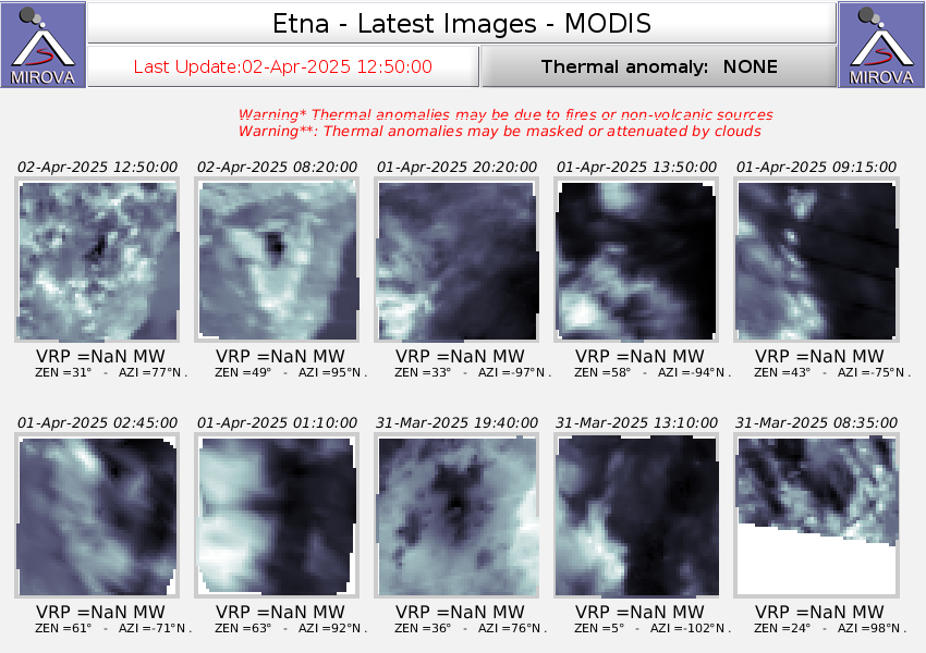
Heat radiation from the volcano Etna in Sicily. © MIROVA

Fuego livecam

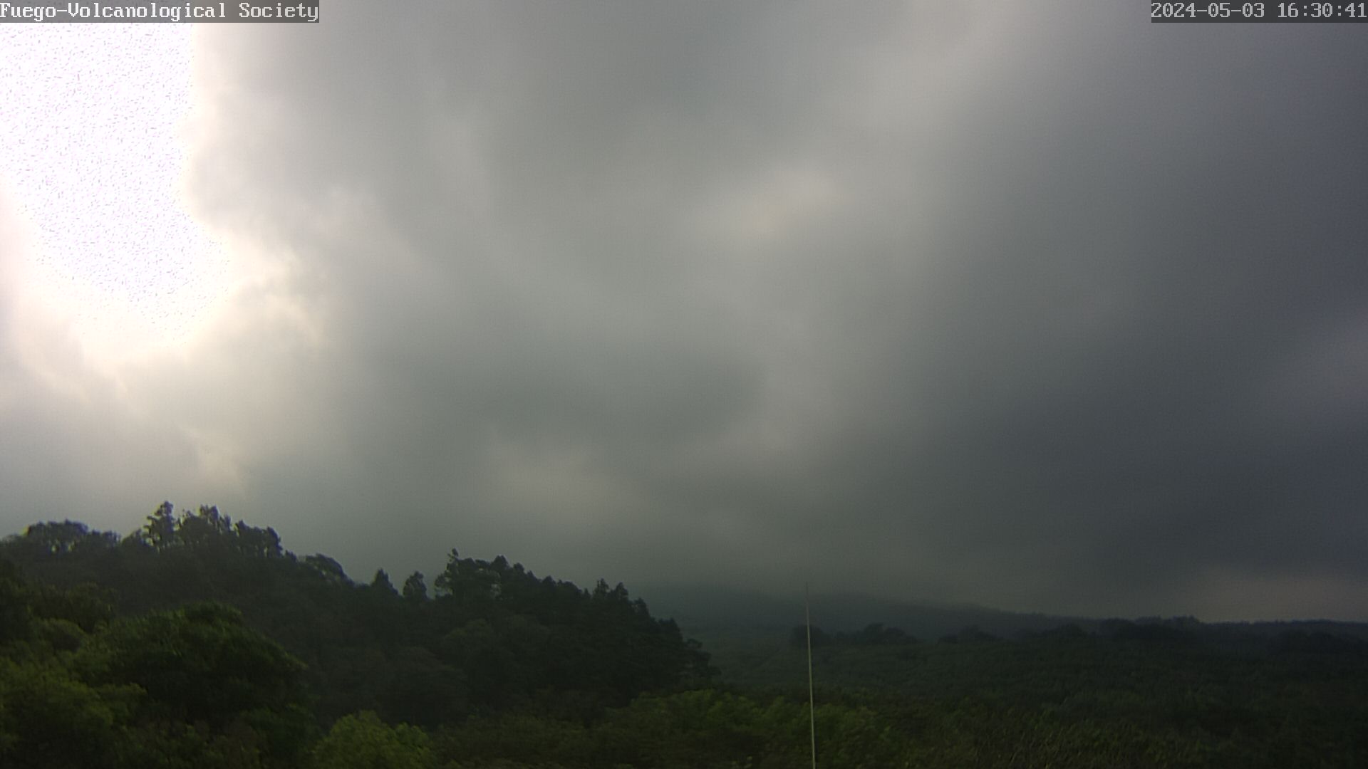
The Livecam from Fuego in Guatemala is operated by the Vulcanological Society e.V. and vulkane.net. To load a new picture please update the page.

Seismic


Seismology of the Fuego volcano. The seismometer is located in Panimache. © LGS

Acoustics

Monitoring volcano Fuego

The Fuego is located in a comparatively densely populated area and not only overlooks several villages that have settled at its foot, but also the tourist magnet Antigua. The Fuego can generate pyroclastic flows and lahars that pose a threat to the surrounding settlements. Therefore the volcano is quite well monitored. Nevertheless, in June 2018 a catastrophe occurred when unexpected pyroclastic flows destroyed numerous houses and cost the lives of more than 100 people. The pyroclastic flows originated during a paroxysmal eruption that occurred every few weeks at that time. But this paroxysm was stronger than the previous ones, but since the threat was not recognized in time, there was no warning.

Before the eruption, there was an observation network that was established with the cooperation of the USGS and Canadian scientists under the auspices of the University of Michigan. Of course in cooperation with the local volcanologists of INSIVUMEH. The network consisted of 6 mobile broadband seismometers, acoustic sensors and a gas spectrometer. 2 livecams supported the volcanologists with visual observations.

In January 2020 our volcanological society “Volcanological Society e.V.” installed a livecam at the foot of the volcano. It supports the volcanologists in visual observations of the fire mountain. You can see the picture above. Read a report about the installation of the camera.

After the eruption the cooperation was extended. Now the Mexican UNAM and several European research institutes are involved. The University of Liverpool and the LGS Florence are also involved. There are 7 stations operating, which have several seismometers and microphones.

Of course the Fuego is also monitored by satellites. Here mainly the heat emissions are detected. Via INSAR the ground deformation is observed.

Vesuvius: earthquake M 2.1

Yesterday evening a weak earthquake of magnitude 2.1 occurred on Vesuvius near Naples (Italy). The hypocenter was at a depth of 0.35 km. The epicenter manifested itself in the crater. After the earthquake there were several earthquakes in the area of microseismics. A total of 13 earthquakes were registered by the INGV Napoli. The last earthquake to date had a magnitude of 1.3. Such earthquakes occur again and again on Vesuvius and are still no cause for concern. While some researchers see the earthquakes as signs that magmatic fluids are moving underground, other scientists see them as signs of shrinking processes as the volcano continues to cool. If you want to get your own picture of the data situation, you can do so on the new Vesuvius live page.

Anak Krakatau: Temperature measurements

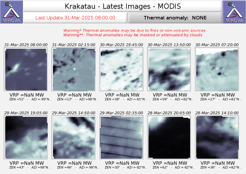
Anak Krakatau was visited by our club member Stefan Tommasini, who took temperature measurements there. The water temperature at the edge of the crater lake is 62 degrees Celsius. In the middle of the lake an estimated 80 degrees. There your cinder cone seems to rise just above sea level. The pH value is 0.5 and is therefore extremely acidic. The escaping gases contain a lot of sulphur dioxide. The sea water at the coast has a temperature of 35 degrees. Here, too, hot gases and hydrothermal solutions escape. Further eruptions are likely in the near future.