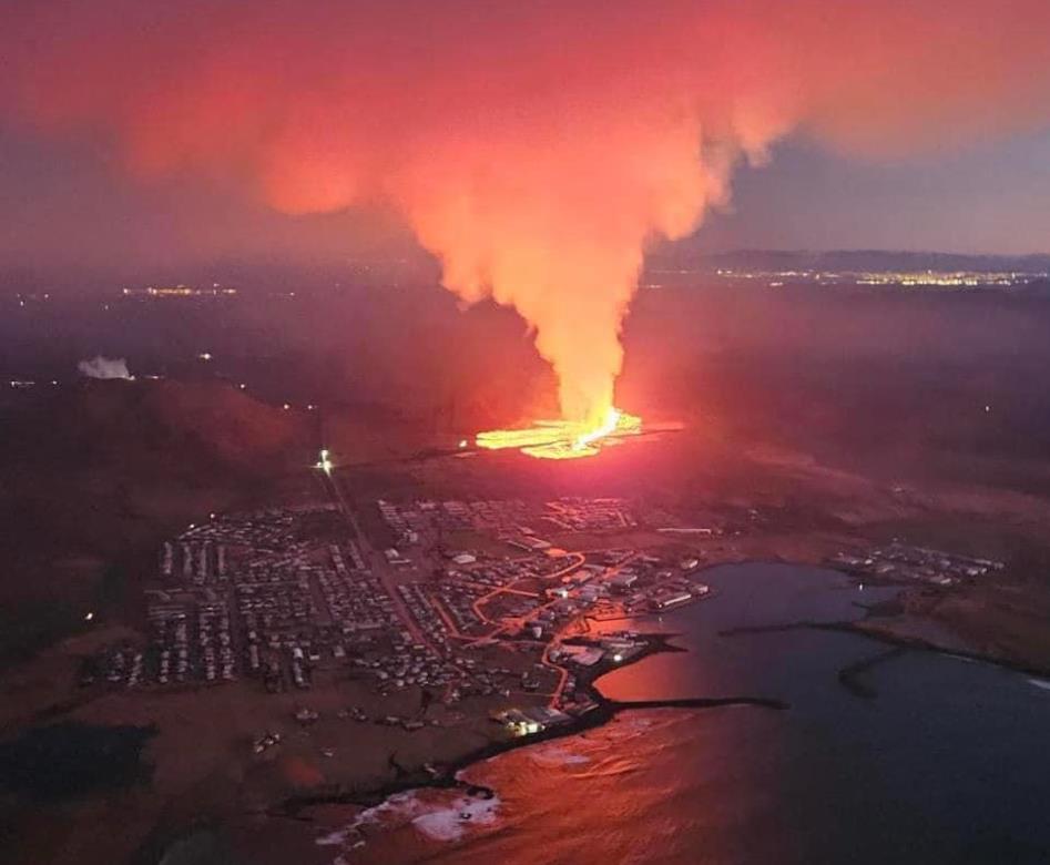
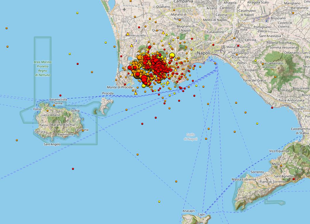
 After several relatively calm days, an intense earthquake swarm resumed yesterday evening beneath the southern Italian Caldera Campi Flegrei. Within 24 hours, around 160 earthquakes were recorded, more than in most weeks. The strongest tremor had a magnitude of 3.2 and was located 1.6 kilometers deep. Although the epicenter was within the hydrothermal system area, the strength of the earthquake suggests it was related to rock fracturing. Despite occurring during the volcano’s dormant period, there were reports of perceptions, even from the Sorrento area. The Shakemap shows increased weak earthquakes over a large radius, indicating accelerated ground uplift.
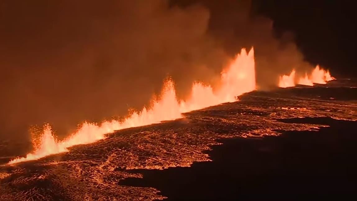
Four additional earthquakes had magnitudes in the range of two, with the strongest being 2.9. Interestingly, the stronger earthquakes clustered in the outer eastern flank of the Solfatara crater, near the Pisciarelli fumaroles, the area with the strongest geothermal manifestations of the Solfatara. As a result of the strong ground uplift in April, the gas temperature of the main fumarole briefly rose to 96 degrees but decreased to 94 degrees last week. Newspaper reports suggest that a magma body is accumulating at a depth of about 4 kilometers, which could lead to a volcanic eruption quickly in the event of a crack in the caldera’s cover rock.