Date: 13.04.2021 | Location: 14.383°, -90.599° | Eruption: Vulcanian | Link
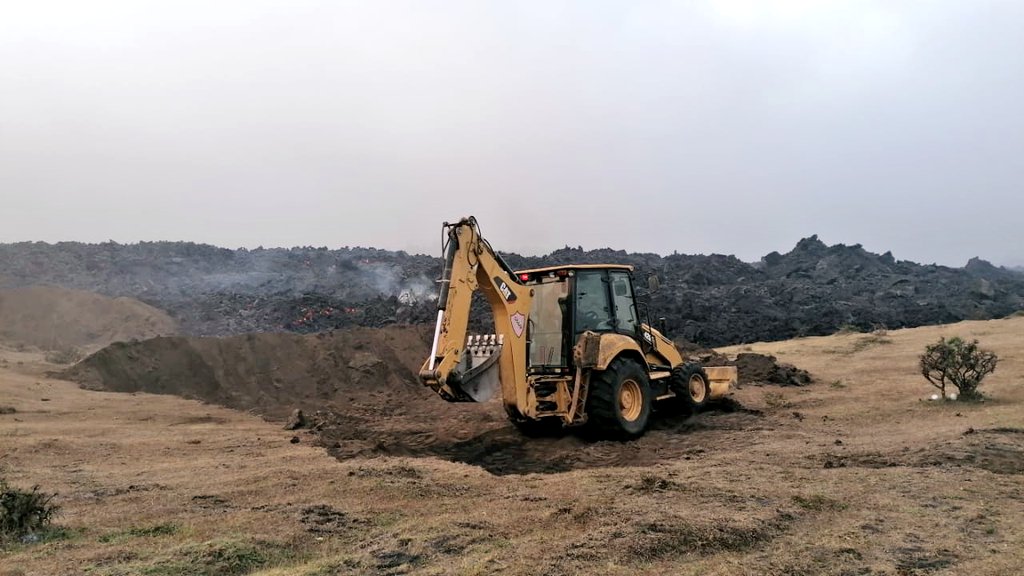 Eruption at Guatemala’s Pacaya volcano continues at high levels, with pulses of explosive eruptions from McKenney crater. Volcanic ash rises to 3500 m altitude and ash precipitation occurs. But the bigger problem is the lava flow that travels on the western flank of the volcano and has reached a length of 3700 meters. The lava flow is branching and moving onto farmland where coffee and avocado plantations are burning. The flow front is 400 meters from the first houses of the village of El Patrocinio and is advancing slowly. Another active front from the south is 250 meters east of the village of El Rodeo. A cooperative effort of sappers and civil defense has built a 175-meter-long dam, diverting portions of the lava flow. The terrain is hilly and the villages are protected by the topography. The question is, for how much longer?