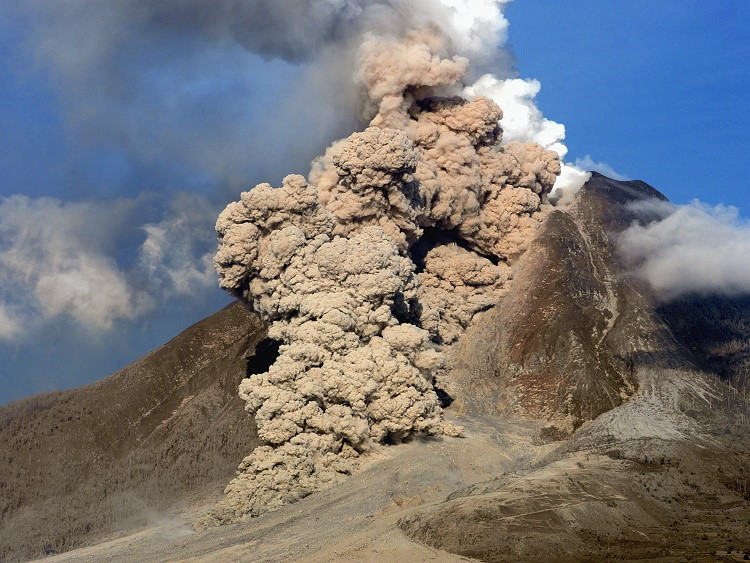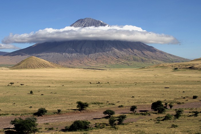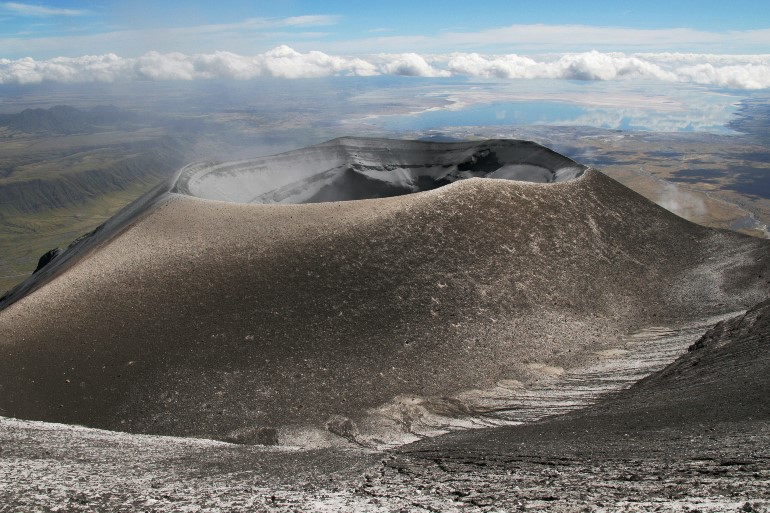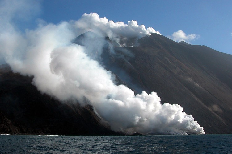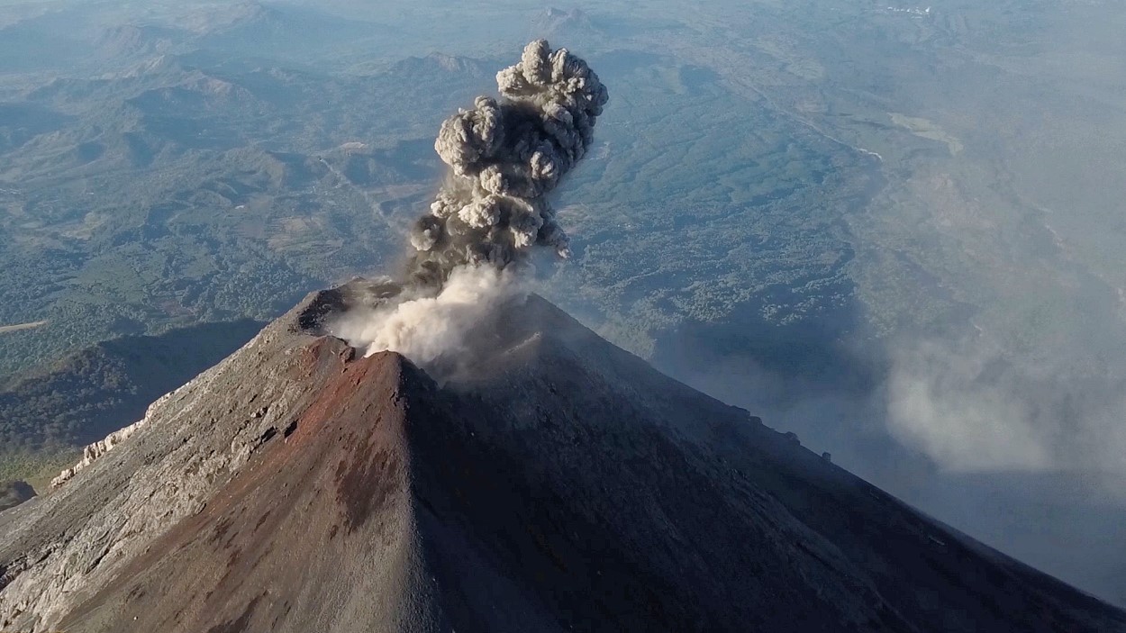
Volcán de Fuego in Guatemala is a stratovolcano (also called a composite volcano). It is one of Central America’s most active volcanoes, known for its frequent eruptions that produce strombolian and vulcanian activity, including explosions, lava flows, and pyroclastic flows.
Fuego is part of the Guatemalan volcanic arc, which is formed by the subduction of the Cocos Plate beneath the Caribbean Plate. It is located near Antigua, Guatemala, and is famous for its persistent activity, often visible from the surrounding areas.
Volcán de Fuego in Guatemala is famous for:
- Frequent Eruptions – It is one of the most active volcanoes in Central America, with near-continuous activity, including strombolian eruptions, lava flows, and ash clouds.
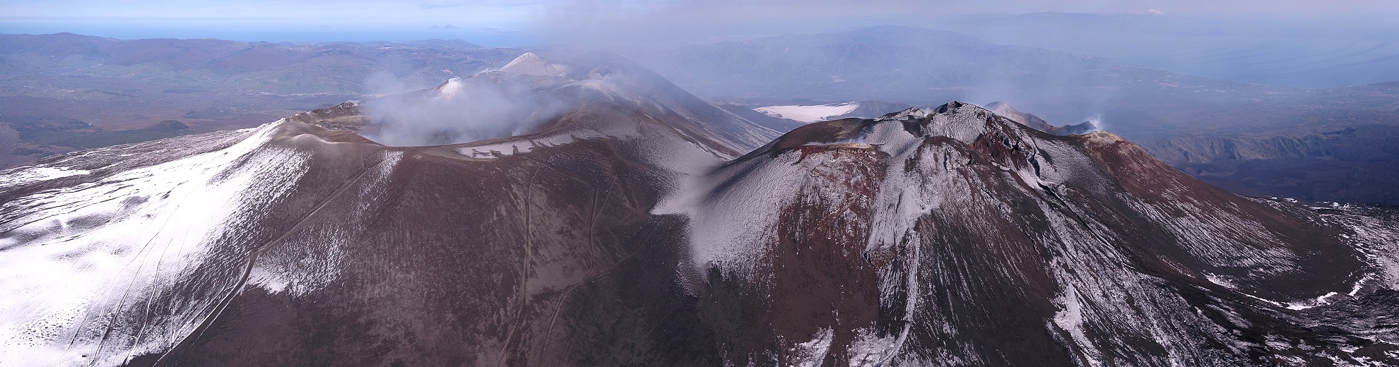
- Striking Appearance – Fuego is a classic stratovolcano, often seen with its near-constant plumes of ash and gas, making it a dramatic sight, especially from the nearby tourist city of Antigua, Guatemala.
- Climbing & Adventure Tourism – Many hikers climb Acatenango, its neighboring volcano, for an incredible view of Fuego’s eruptions at night, where glowing lava and explosions light up the sky.
- Cultural and Historical Significance – The volcano has been recorded in Mayan history and is part of Guatemala’s rich volcanic landscape. It has influenced local communities for centuries.
- Deadly 2018 Eruption – On June 3, 2018, Fuego had one of its most catastrophic eruptions, producing pyroclastic flows that buried villages like San Miguel Los Lotes, killing hundreds of people. It was one of Guatemala’s deadliest volcanic disasters.
The 2018 Eruption of Volcán de Fuego
On June 3, 2018, Volcán de Fuego in Guatemala experienced one of its most catastrophic eruptions in recorded history. The eruption resulted in widespread devastation, significant loss of life, and lasting impacts on the affected communities.
Overview of the Eruption
Volcán de Fuego, one of Central America’s most active volcanoes, had been showing increased activity in the days leading up to the disaster. However, the intensity of the eruption on June 3 far exceeded expectations. The eruption was classified as a Plinian event, characterized by a massive ash column and violent pyroclastic flows.
Sequence of Events
- Morning Activity: Early in the day, Fuego exhibited increased ash emissions, explosions, and lava flows. Authorities monitored the situation but did not initially expect a large-scale disaster.
- Main Eruption: At approximately 3:00 PM, the volcano erupted explosively, sending an ash column over 10 kilometers (33,000 feet) into the atmosphere.
- Pyroclastic Flows: The most destructive aspect of the eruption was the pyroclastic flows — a deadly mix of superheated gas, ash, and volcanic material traveling at speeds exceeding 100 km/h (62 mph). These flows engulfed multiple villages, including San Miguel Los Lotes and El Rodeo, causing extreme destruction.
- Casualties and Impact: The eruption led to the deaths of at least 200 people, with hundreds still missing. Thousands were displaced, and entire communities were buried under thick layers of ash and debris.
- Ashfall and Disruptions: Heavy ashfall extended to Guatemala City, leading to airport closures and transportation disruptions.
Why Was It So Deadly?
The sudden escalation of the eruption, combined with limited evacuation time, contributed to the high number of casualties. Unlike Fuego’s usual eruptions, which are frequent but moderate, this event produced rapid and powerful pyroclastic flows, giving residents little chance to escape.
Aftermath and Recovery
In the weeks following the disaster, emergency teams, including firefighters, military personnel, and volunteers, worked to rescue survivors and recover bodies. However, the solidified volcanic material made search efforts difficult.
- Over 12,000 people were evacuated, and many survivors were permanently displaced.
- San Miguel Los Lotes was declared uninhabitable, and survivors were relocated to temporary shelters.
- International aid and government assistance were deployed, but recovery efforts faced challenges due to the scale of destruction.
Legacy of the Eruption
The 2018 eruption of Volcán de Fuego remains a stark reminder of the unpredictable power of nature. Today, the volcano continues to be closely monitored, and new evacuation protocols have been implemented to prevent future tragedies. The scars of the eruption are still visible in the affected areas, serving as a somber testament to the disaster.
This event underscores the importance of volcanic monitoring, early warning systems, and preparedness to mitigate the impact of future eruptions in Guatemala and around the world.