Subterminal Eruption at Mount Etna: Lava Flow on the Southern Flank
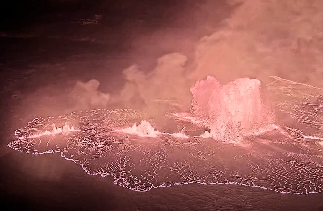
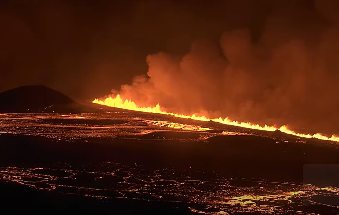
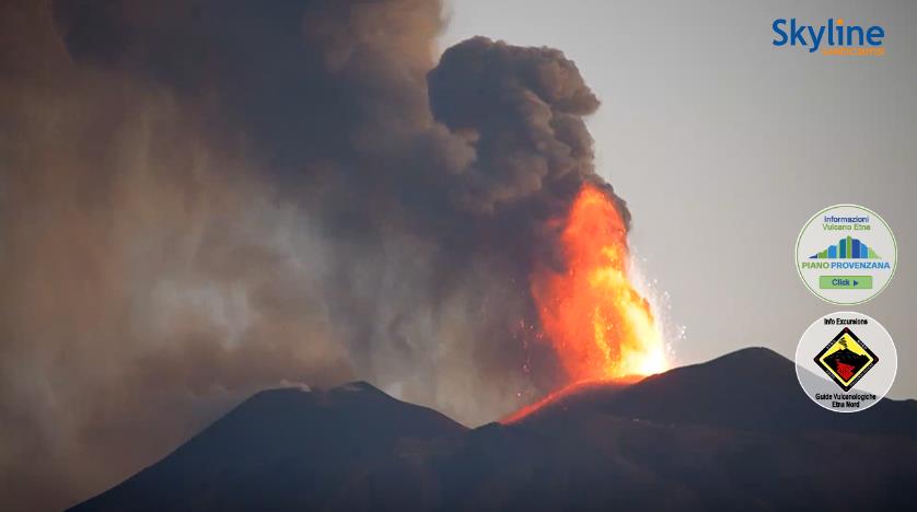
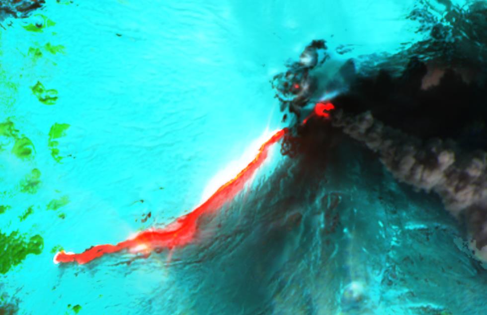 After several months of inactivity, Mount Etna in Sicily has erupted again, producing a lava flow descending its southern flank. Notably, this is a rare subterminal eruption: instead of originating from the central crater, the lava flow emerges from a short fissure at the base of the central crater complex.
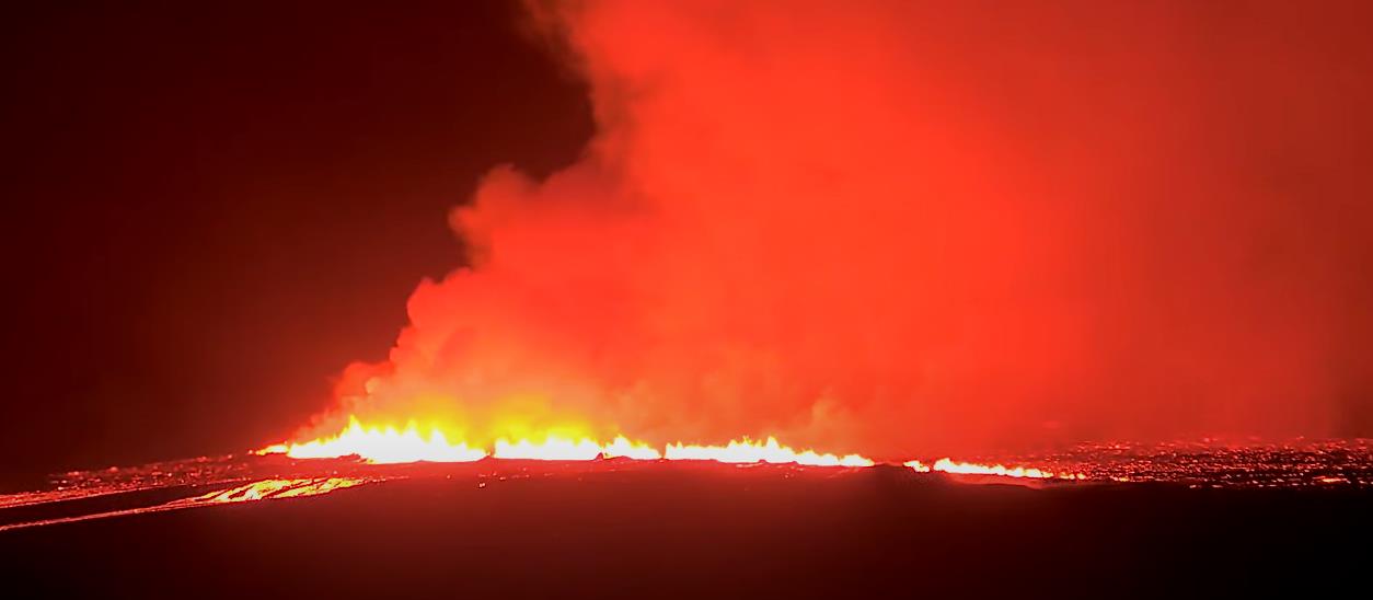
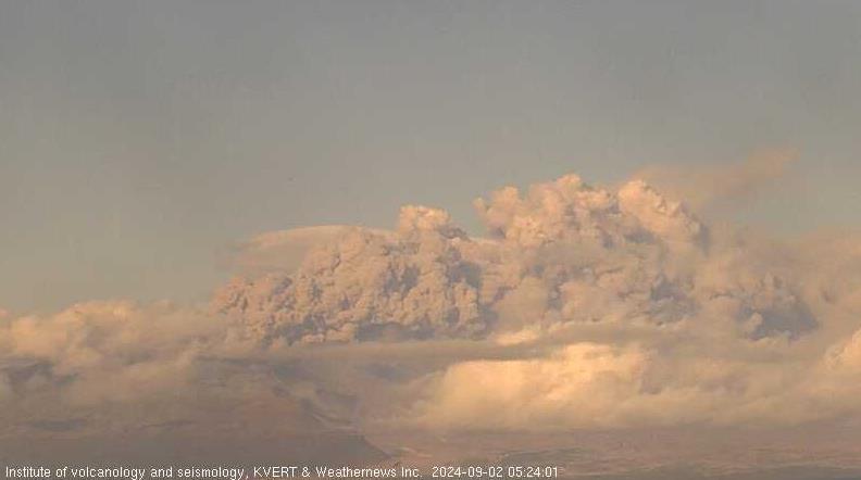
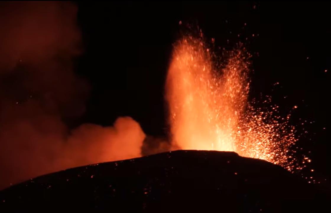
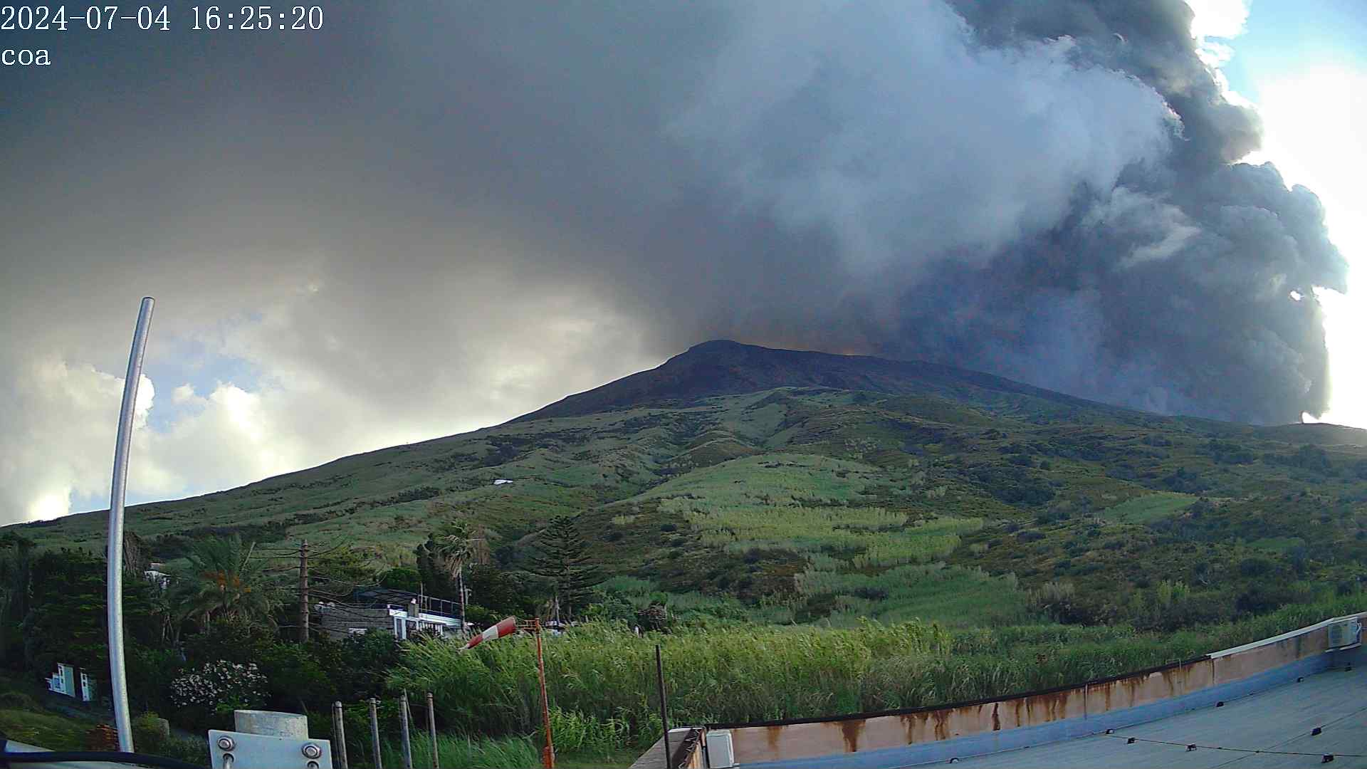
According to INGV volcanologist Boris Behnke, the eruption likely began in the afternoon but only became visible after nightfall. Since Thursday, volcanic tremor has been increasing, indicating rising magma. Additionally, weak Strombolian eruptions and ash emissions were observed.
Seismic activity beneath Etna had already intensified last month, suggesting magma ascent. Whether this magma has reached the surface remains uncertain. More likely, the rising magma increased pressure in a shallow reservoir, forcing stored molten rock to escape. The gas pressure is insufficient for an explosive eruption from the main craters, but if larger volumes of fresh magma reach higher levels of the conduit system, paroxysmal eruptions could occur.