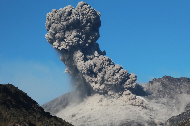
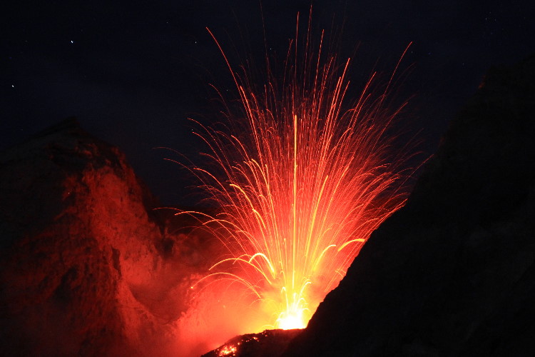
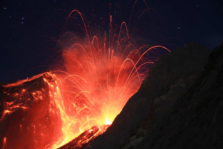
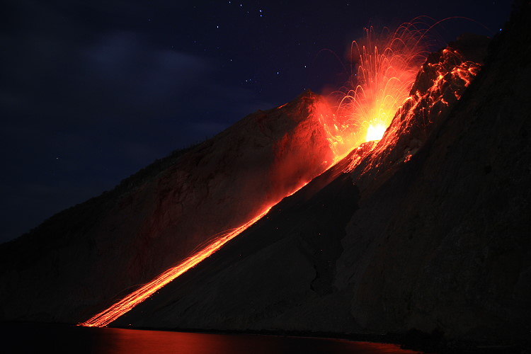
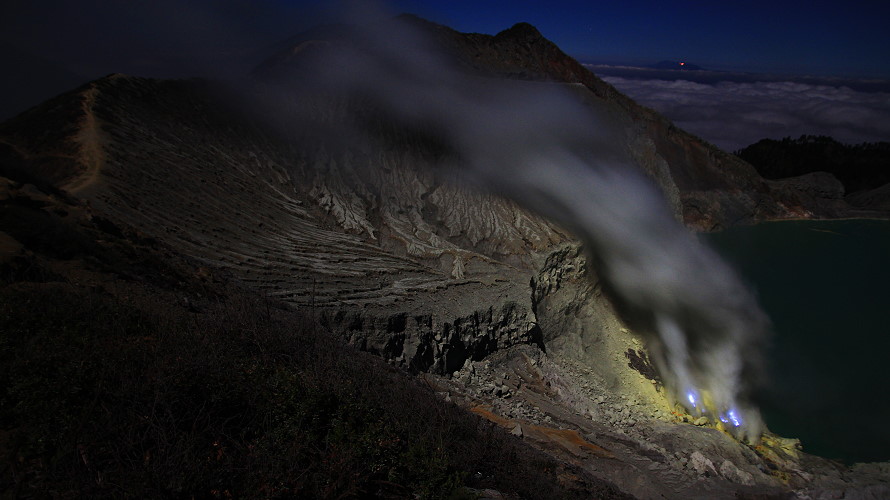
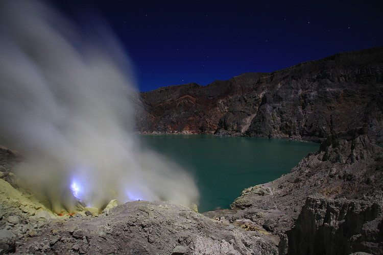
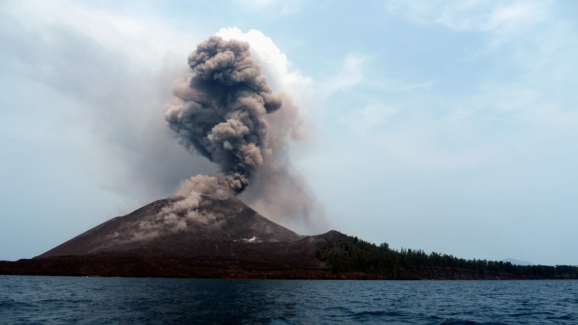
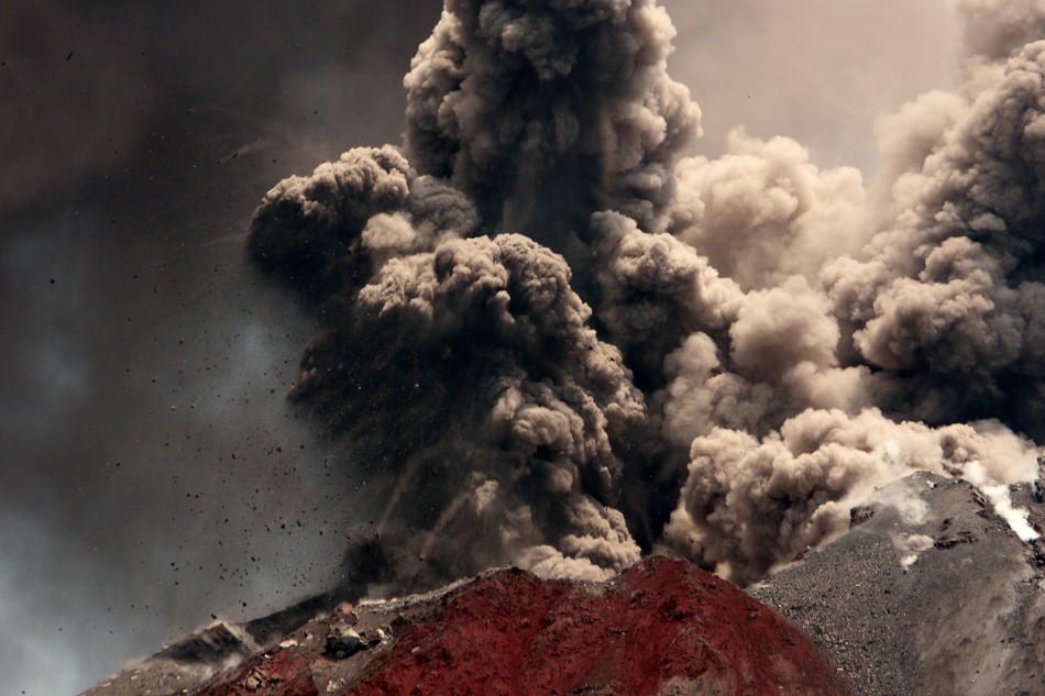
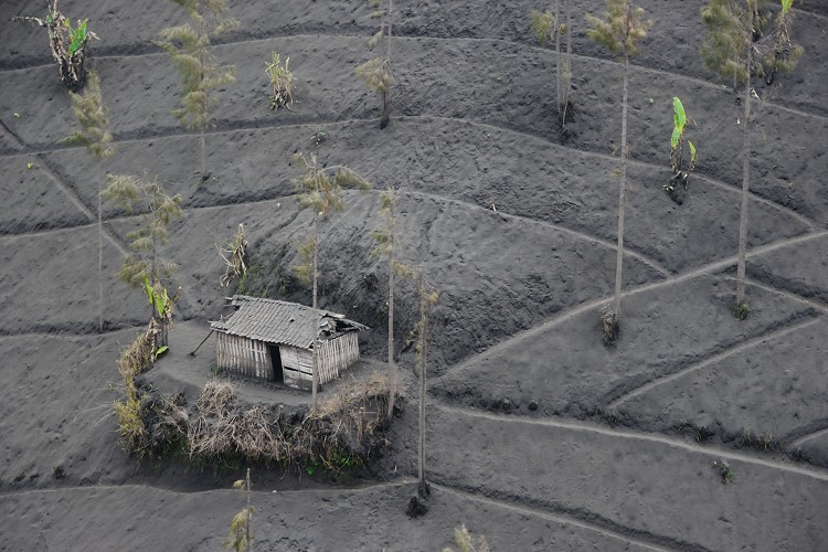
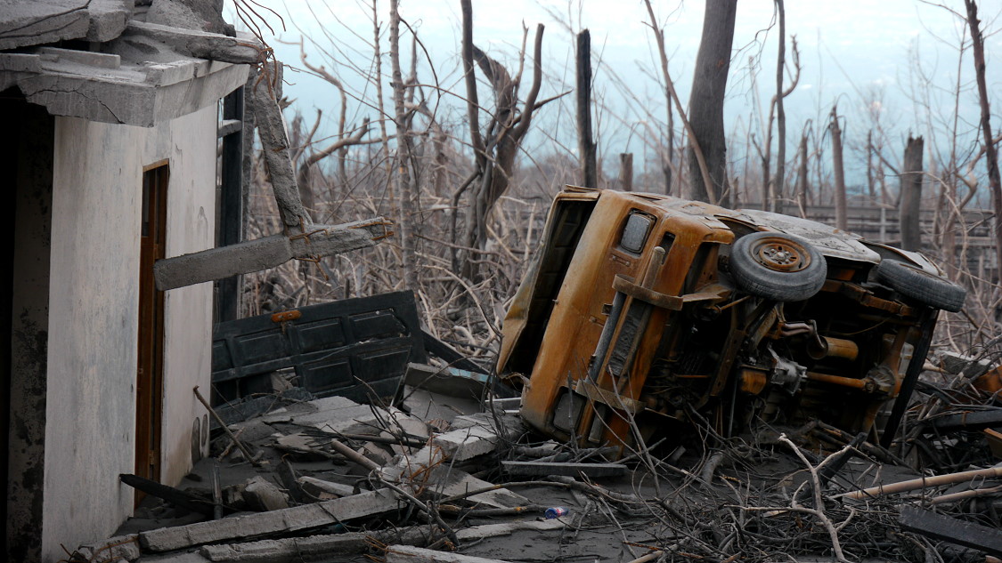
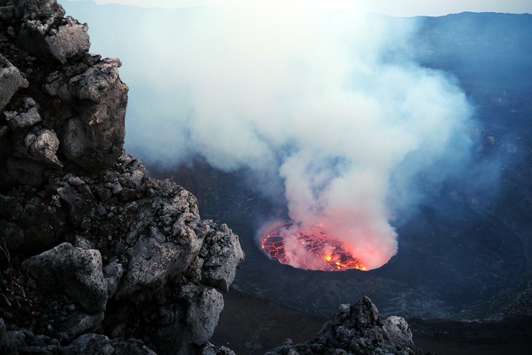
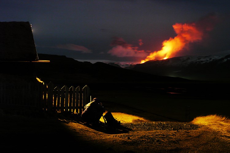
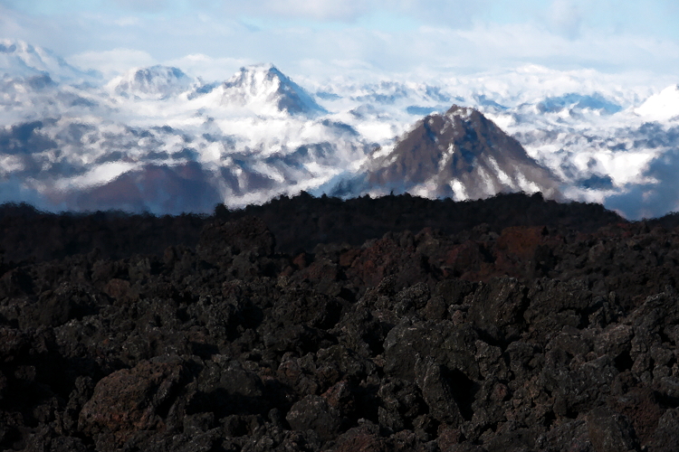
Eruption of volcano Merapi in 2010. Pyroclastic flows destroyed several villages. I visited Merapi together with Chris Weber from VEI.
Chronicle of an eruption
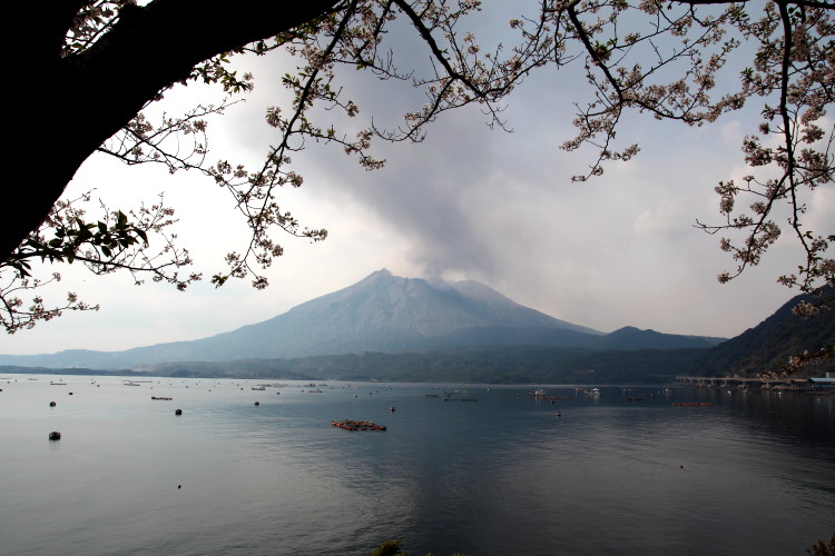
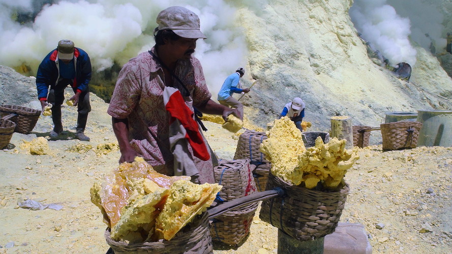
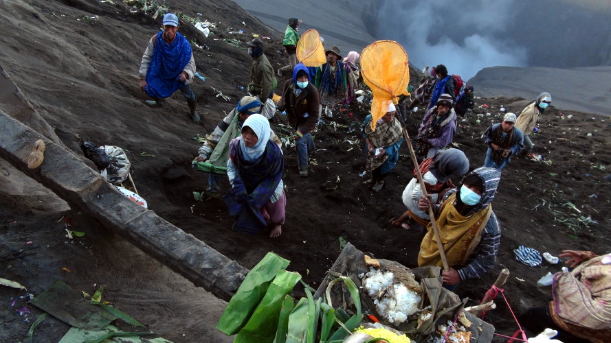
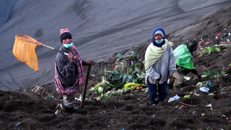
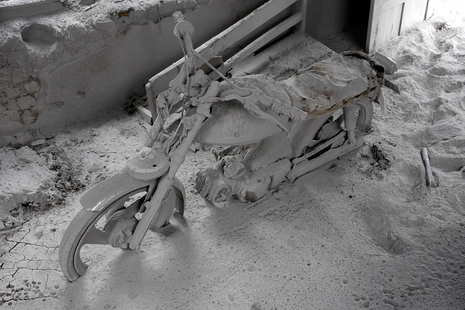
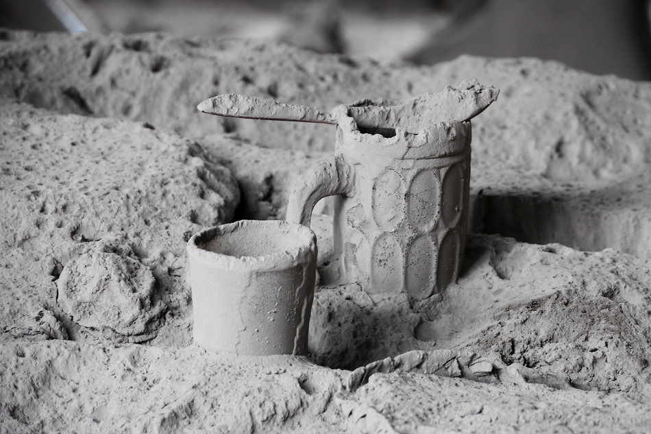
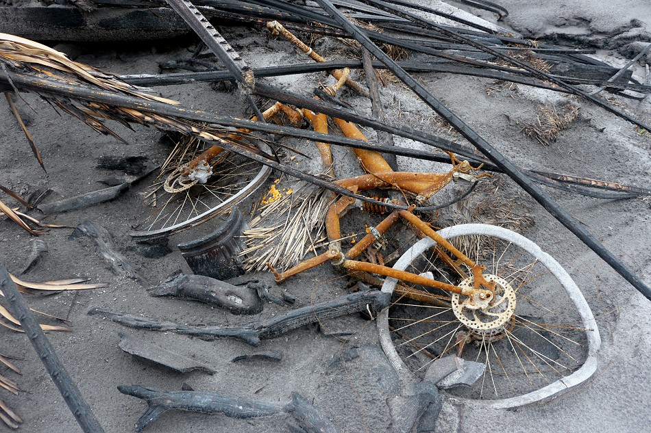
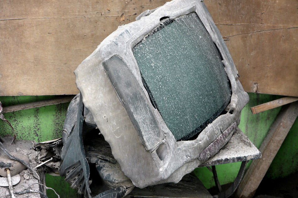
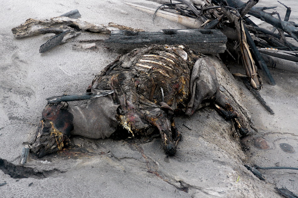
The eruption of the Merapi volcano was one of the most significant eruptions of 2010, which became a natural disaster, killing more than 250 people. The economic damage is enormous and the ash deposits destroyed numerous plantations. It will take years until the palm trees bear fruit again.
The first indications of the volcano awakening were already at the end of August / beginning of September. The Merapi emitted more gas and a slight earthquake activity started. The government began to rehabilitate roads and bridges so that the population could be evacuated quickly in case of emergency. The chronicle shows how the volcanic eruption developed:
September 22nd: Increase of the warning level to yellow.
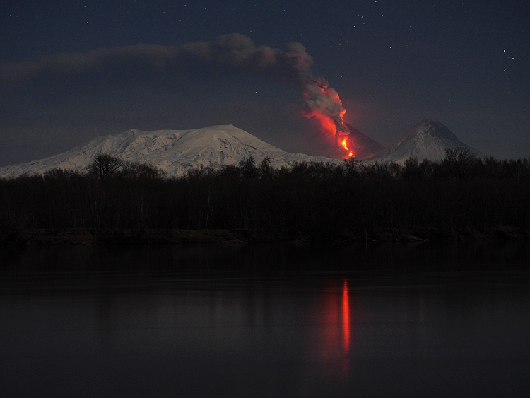
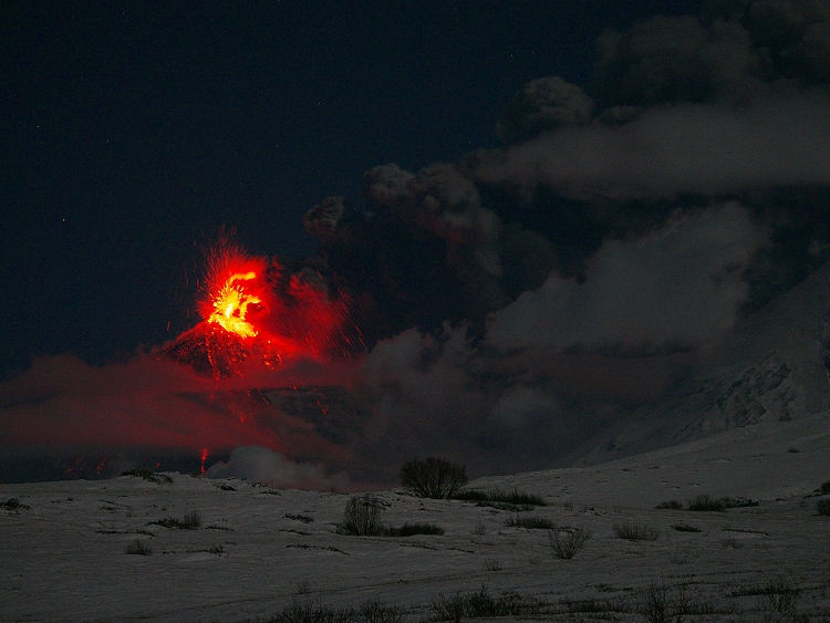
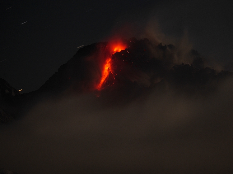
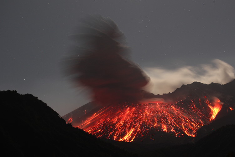
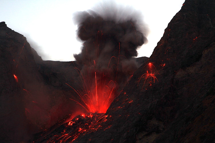
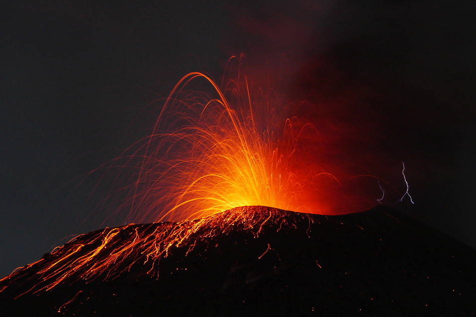
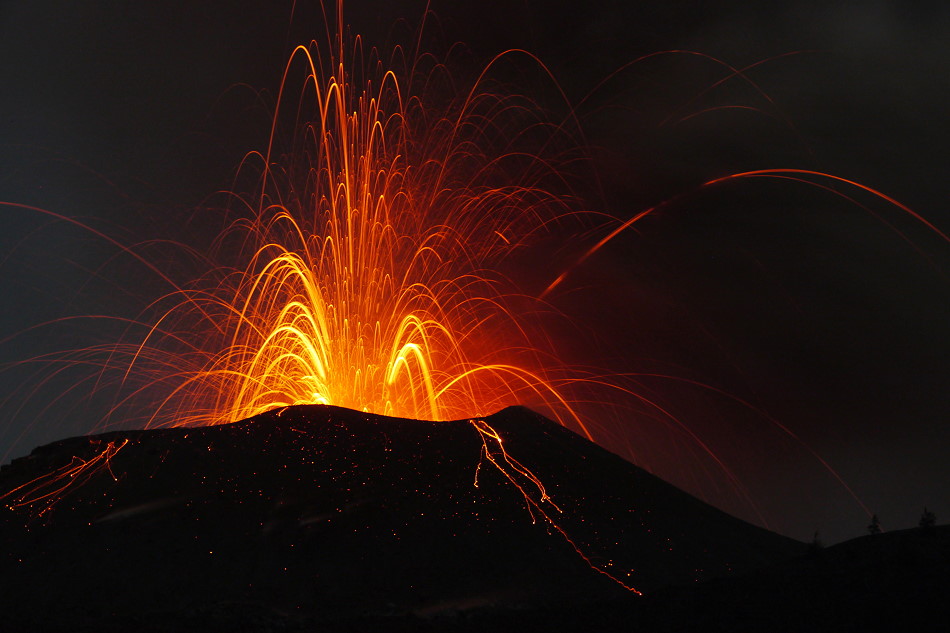
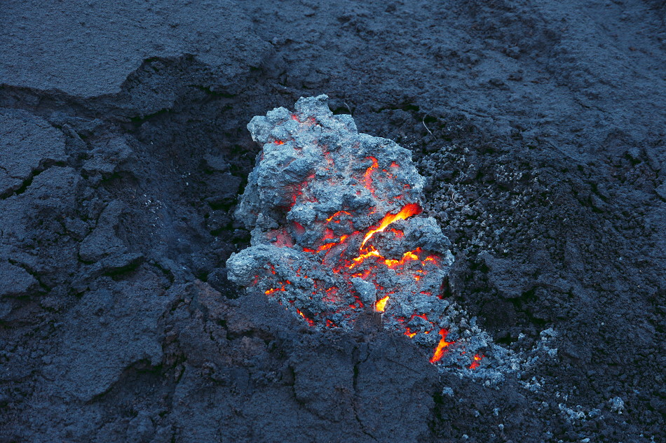
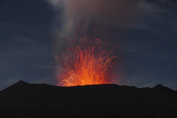
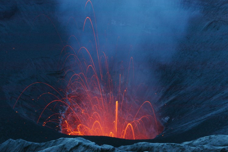
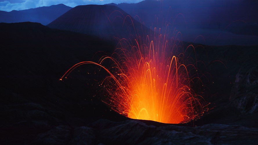
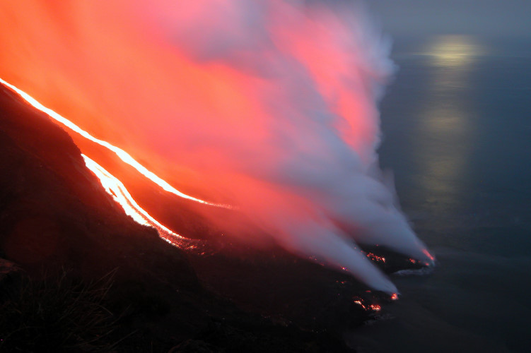
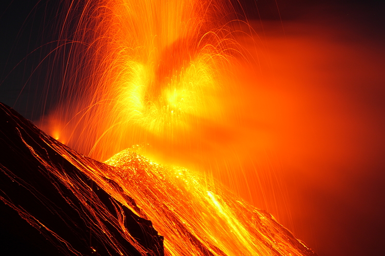
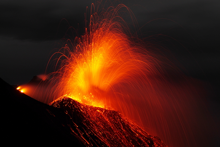
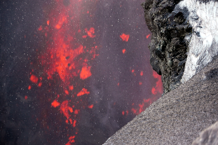
October 11: First sighting of glowing lava at the dome of the volcano.
October 19: Almost daily activity increases at Merapi on Java. On Monday, 60 lava avalanches were registered, which descended towards Kaliurang. Tremor (357 events) and volcanic quakes (43 events)
October 21: Blocking of the ascent. The volcanologists were concerned about the increasing pressure under the volcano. The inflation rate was exceptionally high.
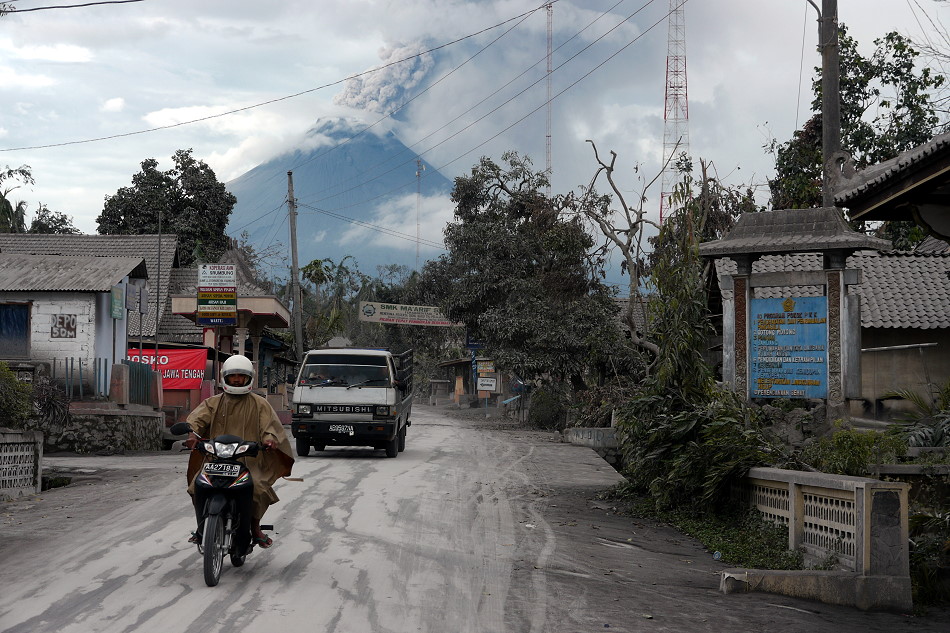
25 October: Increase of the warning level to orange. This is the highest warning level before an eruption. The magma is now only 1 km below the crater. A 10 km exclusion zone was established and several villages were evacuated.
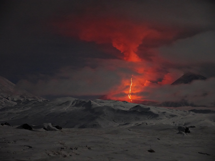
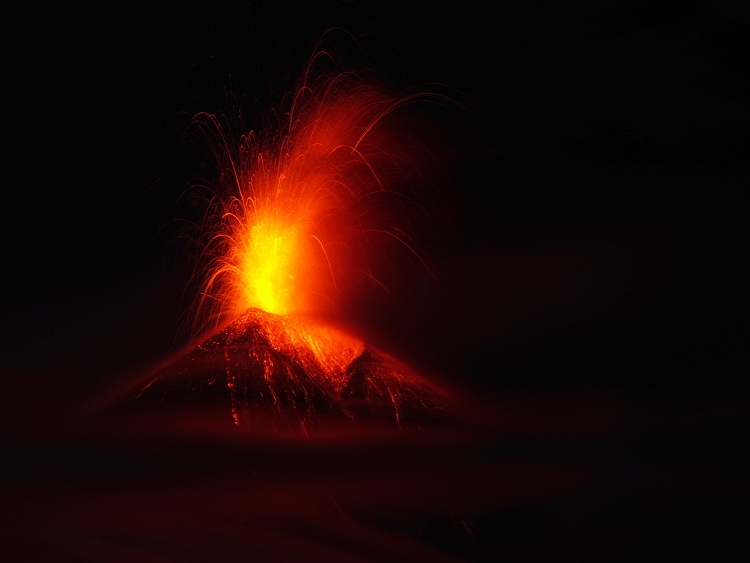
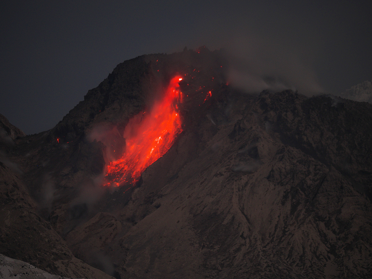
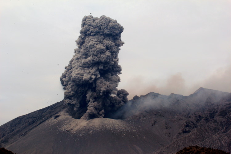
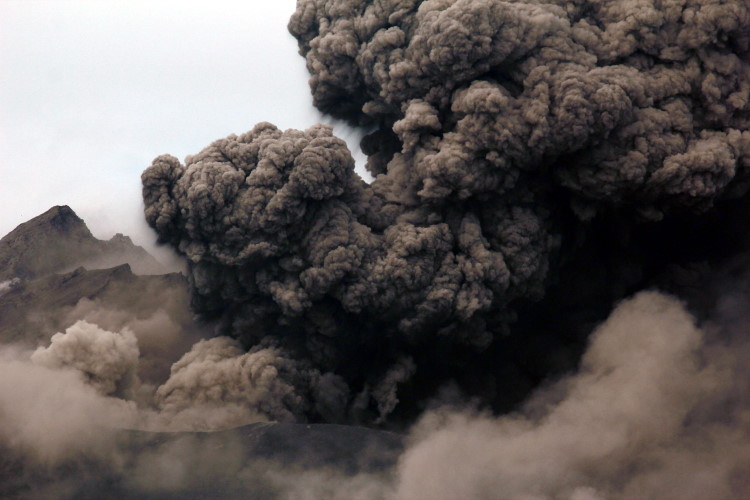
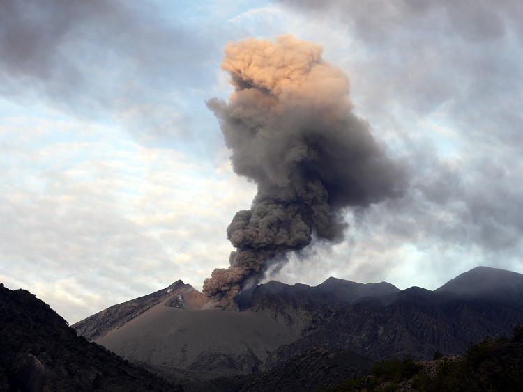
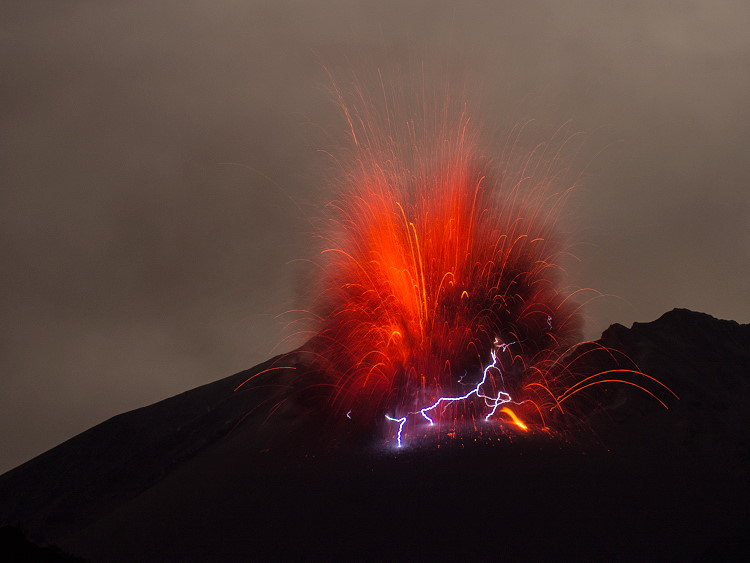
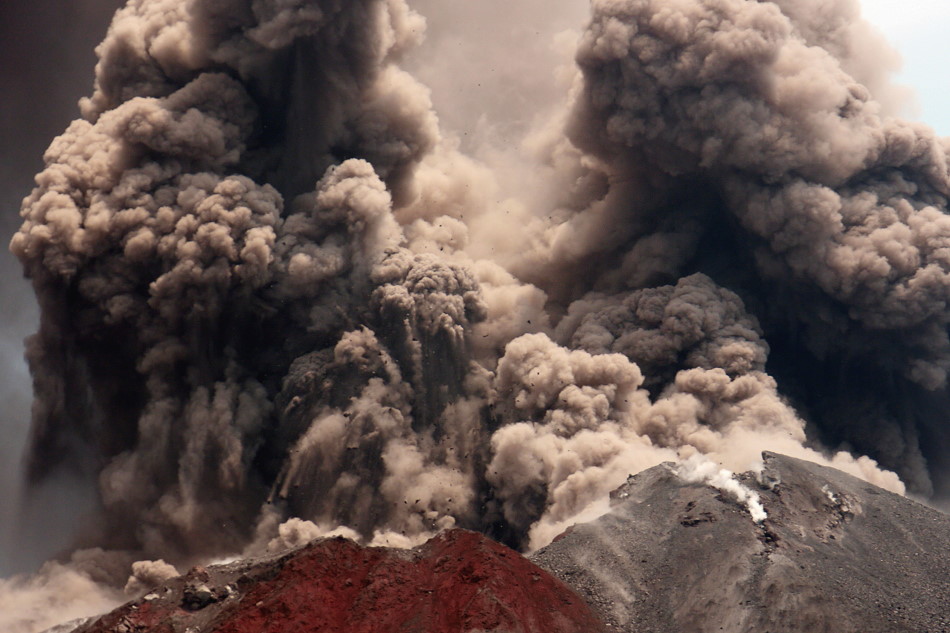
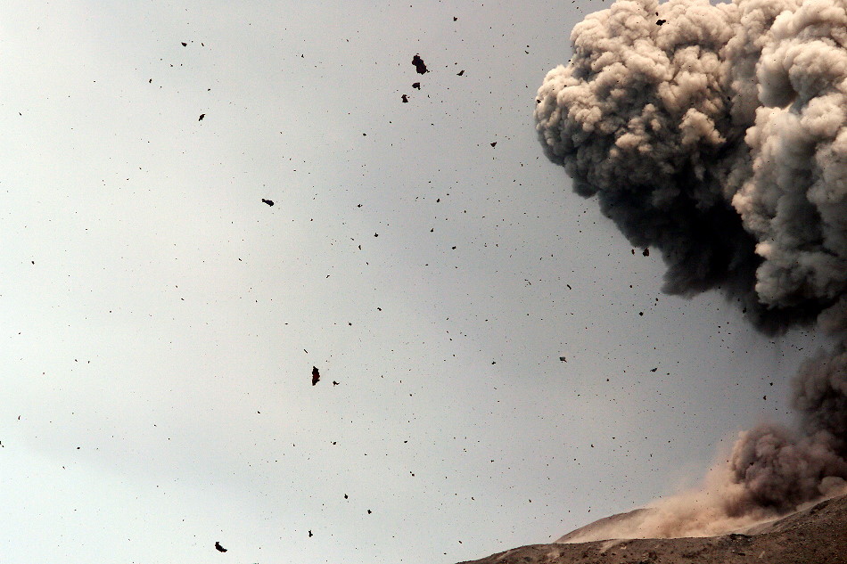
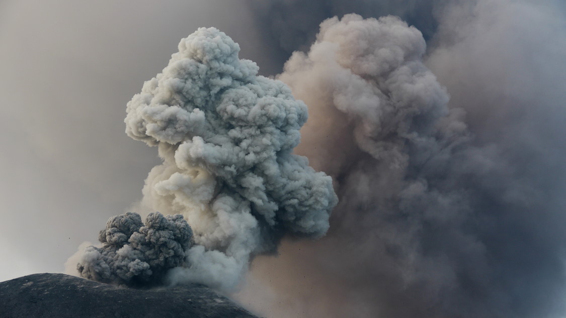
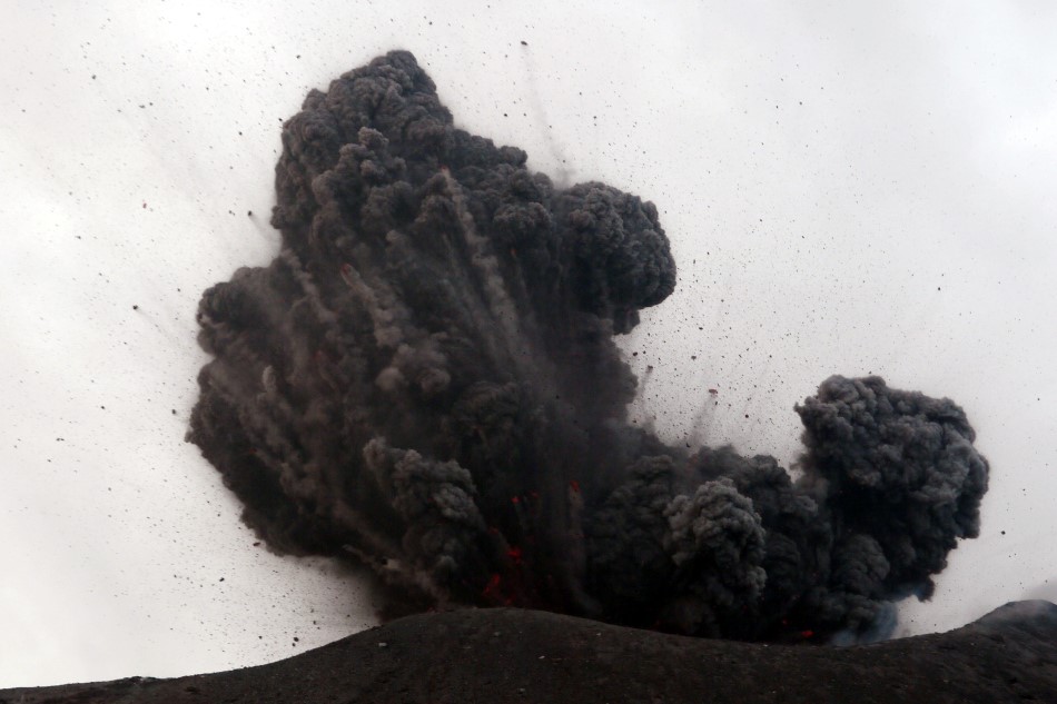
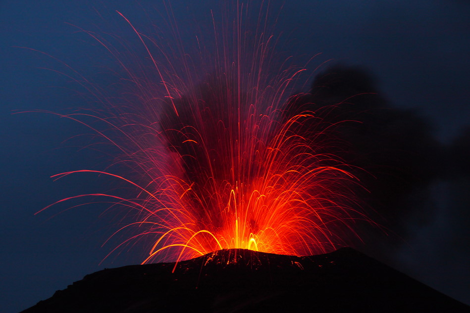
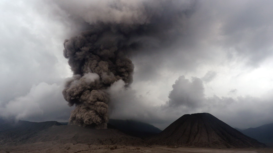
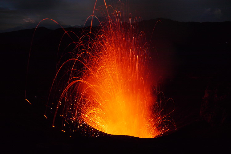
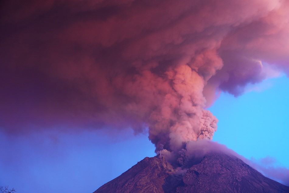
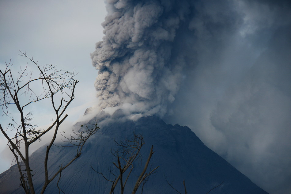
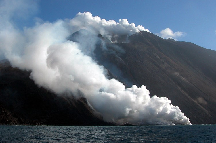
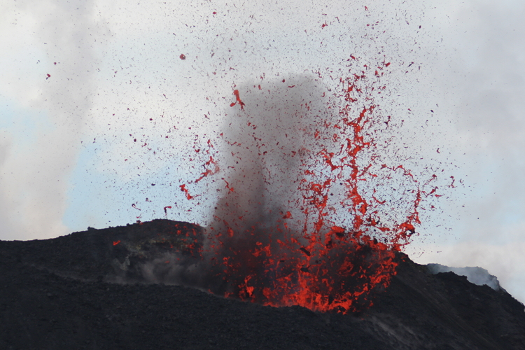
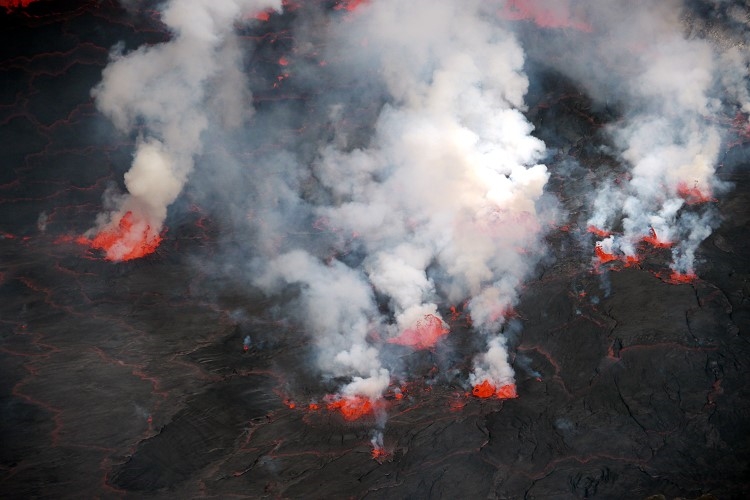
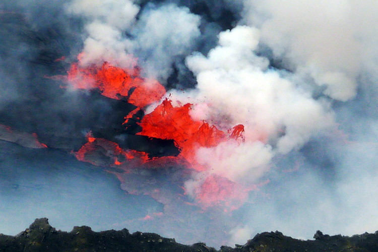
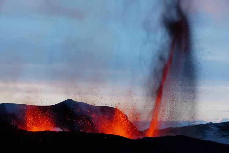
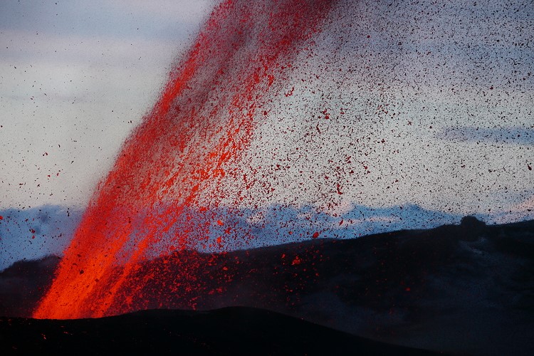
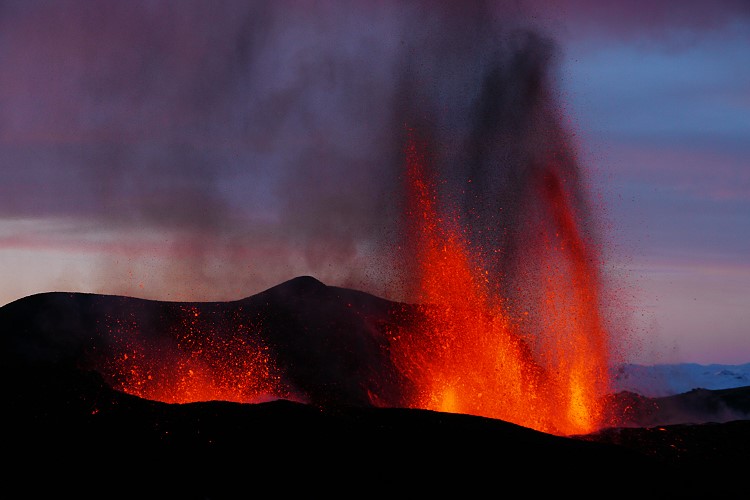
October 26: First dome collapse triggered pyroclastic flows which destroyed the village of Kinahrey. 7 people died and at least 14 were injured. An eruption cloud rose several kilometers high. There were numerous explosive eruptions that lasted up to 33 minutes. Volcanic bombs struck within a radius of 1.5 km around the dome. In the following days there were more eruptions, but they were smaller. Alarm status red was declared.
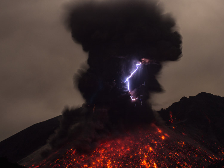
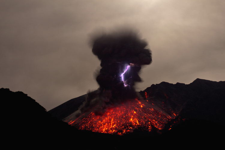
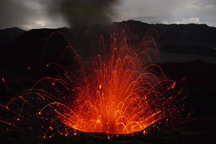
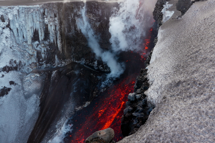
3 November: A large explosion followed by a partial collapse of the dome. Pyroclastic flows covered a distance of 10 km and an ash cloud rose several kilometers high. The eruption lasted for over an hour. The safety zone was extended to 15 km and tent camps with the evacuees had to be moved further. Photos showed that a large part of the old dome was blown away. A large block slipped onto the southern slope just below the summit and remained there for the time being.
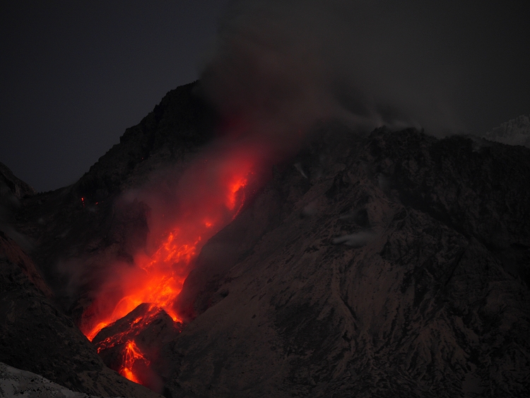
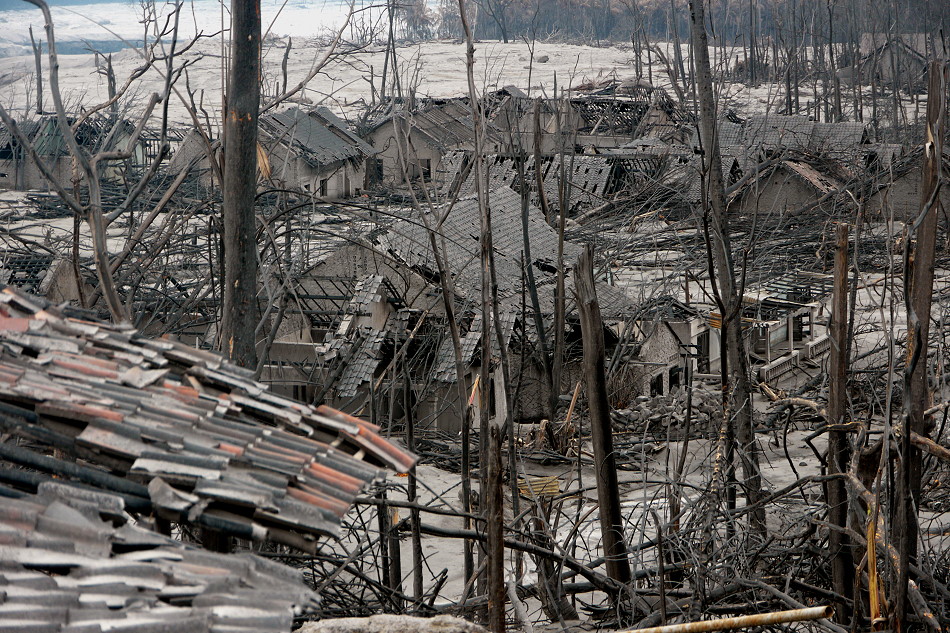
5 November: Further heavy explosions mobilized the rest of the old cathedral, including the block on the southern slope. A new crater was formed. Pyroclastic flows destroyed the village of Argomolyo, 18 km from the summit. The village burned down in part. The village of Cangkringan 15 km away was also severely affected. More than 250 people died and 66 people were injured. Many victims were only recovered days after the disaster.
The security zone was extended to 20 km, more than 100,000 people were on the run.
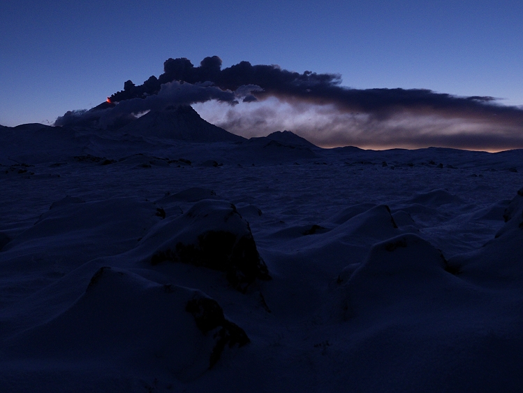
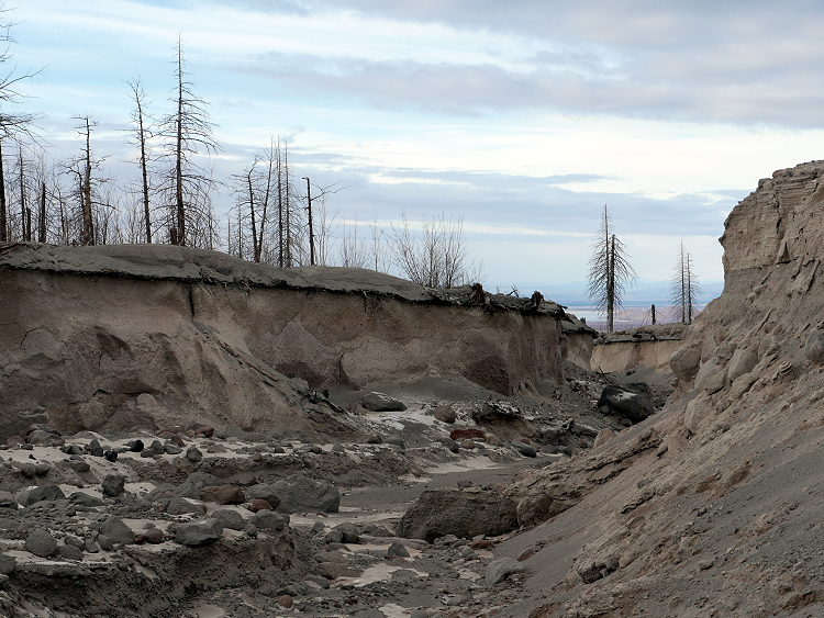
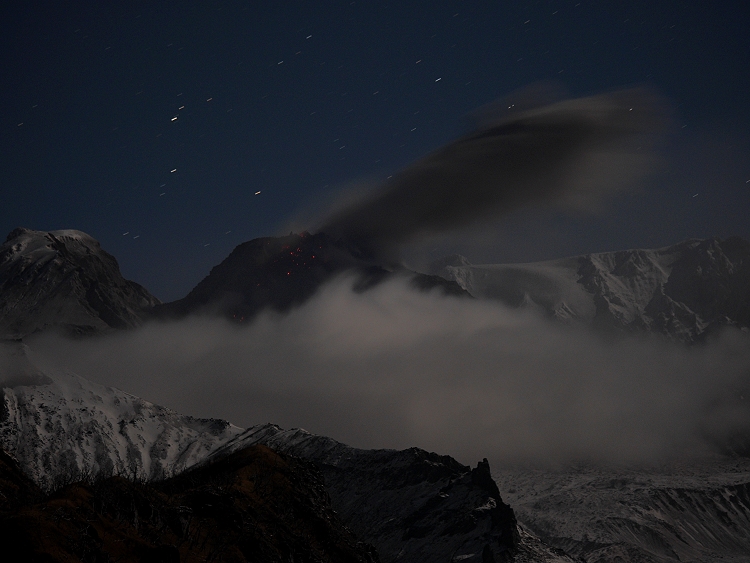
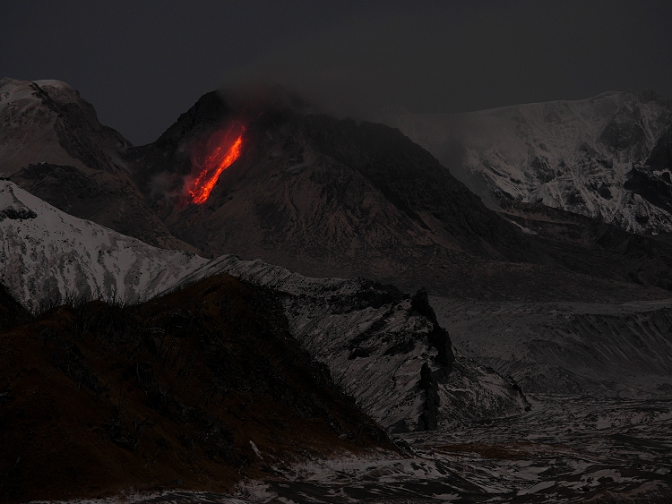
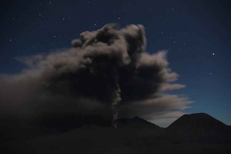
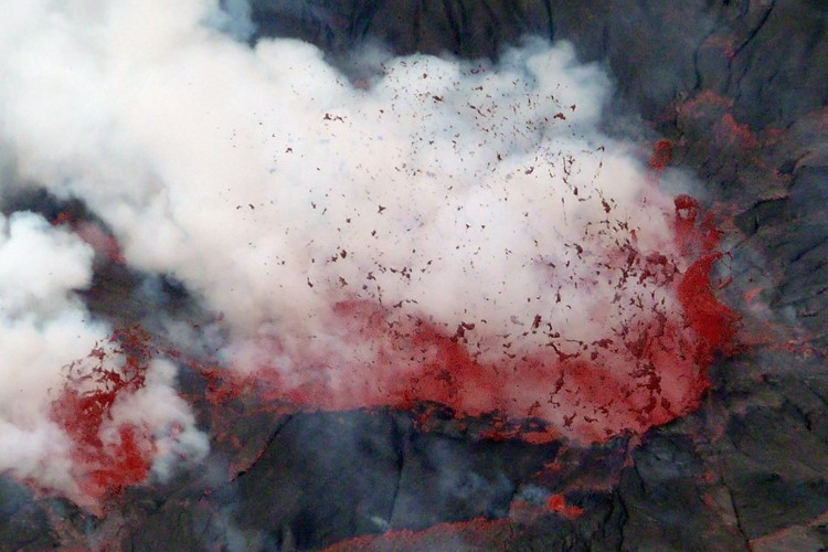
09 November: The activity decreased. There were still isolated pyroclastic flows. Rainfall increased the danger of lahar.
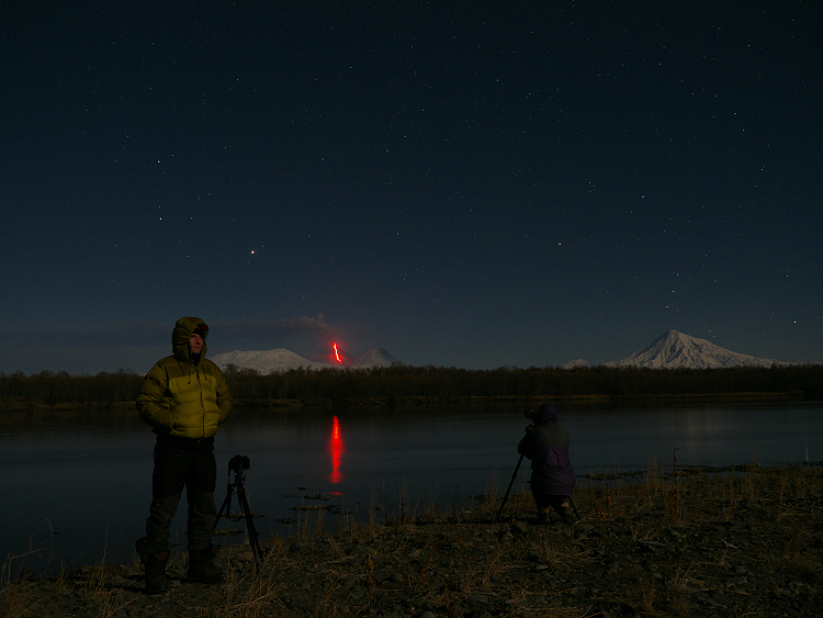
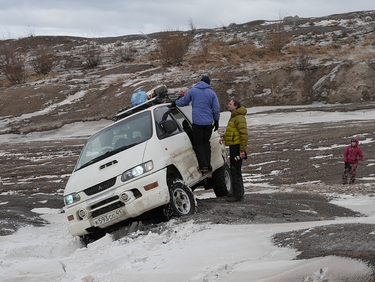
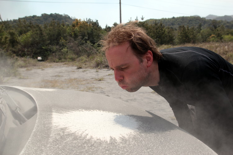
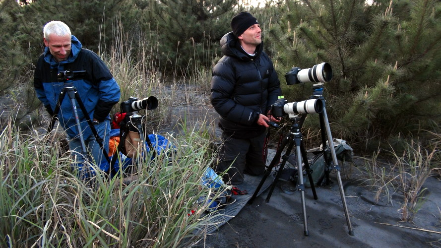
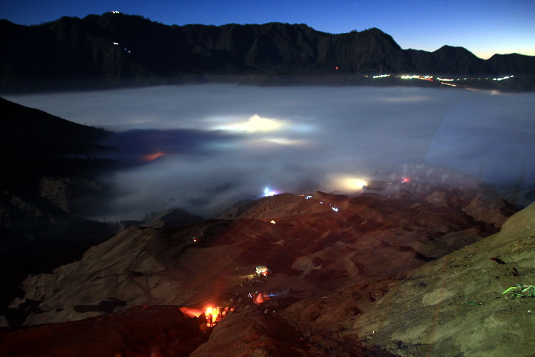
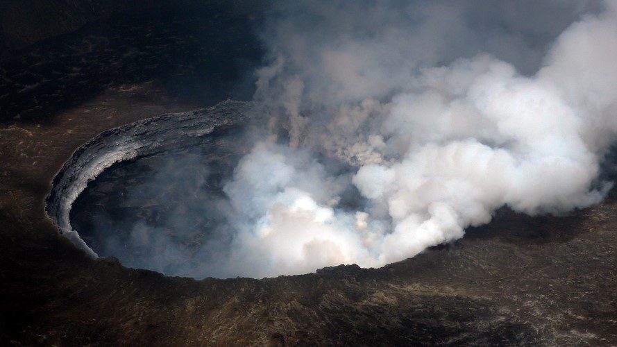
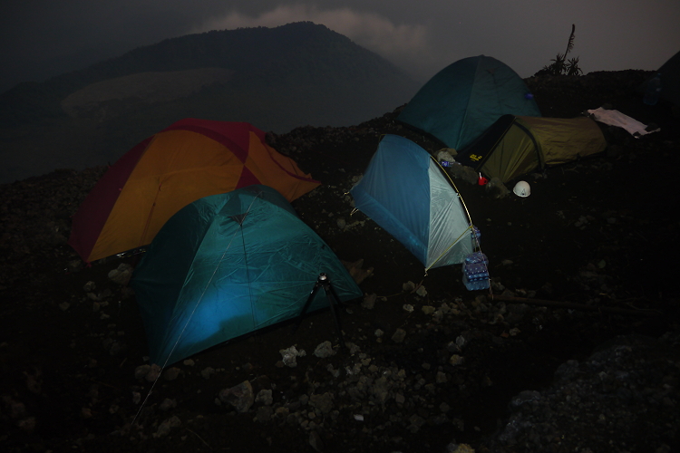
11 November: Chris Weber and I reach the Merapi (see report Merapi)
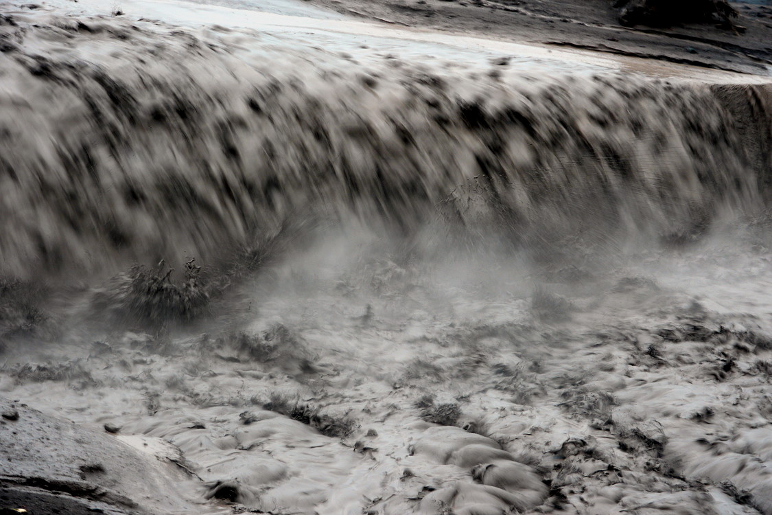
November 14: A lahar flowed through the Bebeng River.
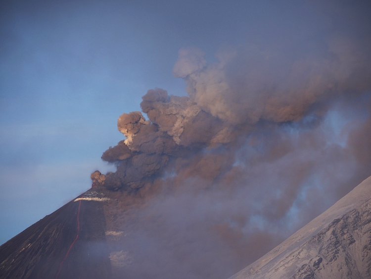
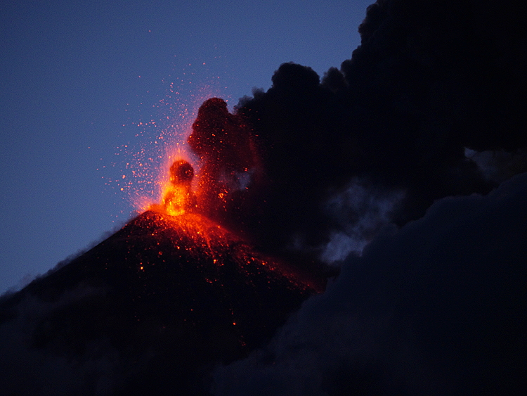
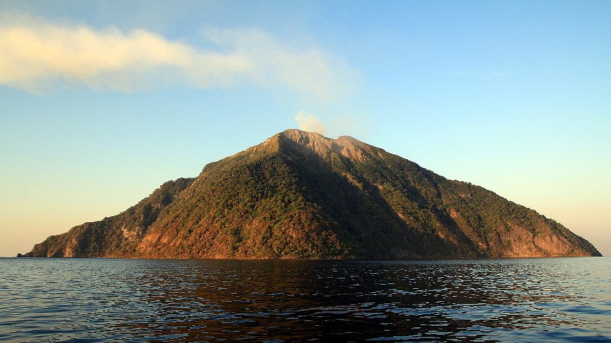
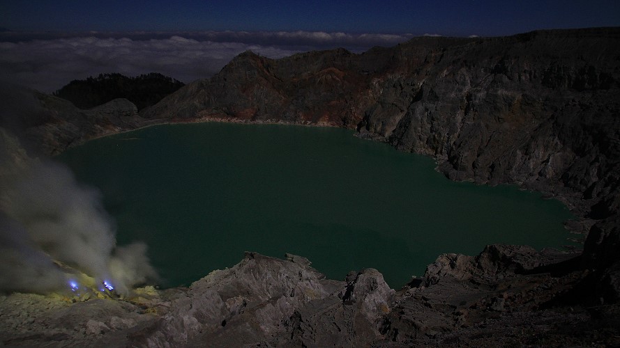
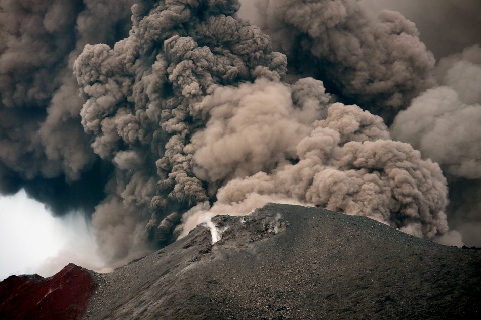
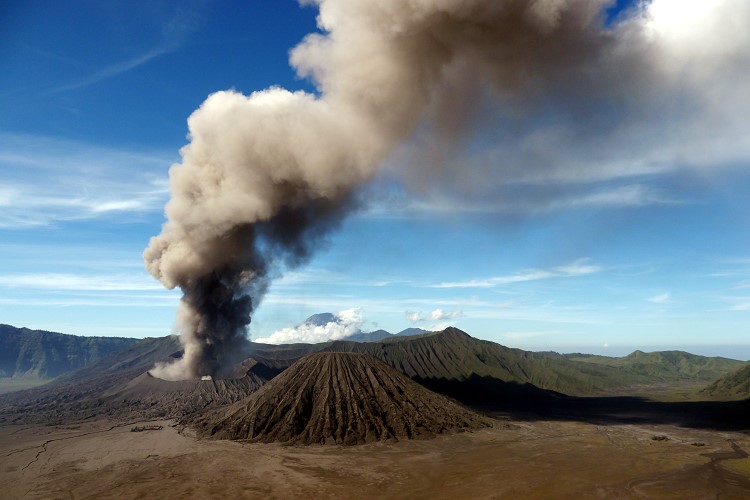
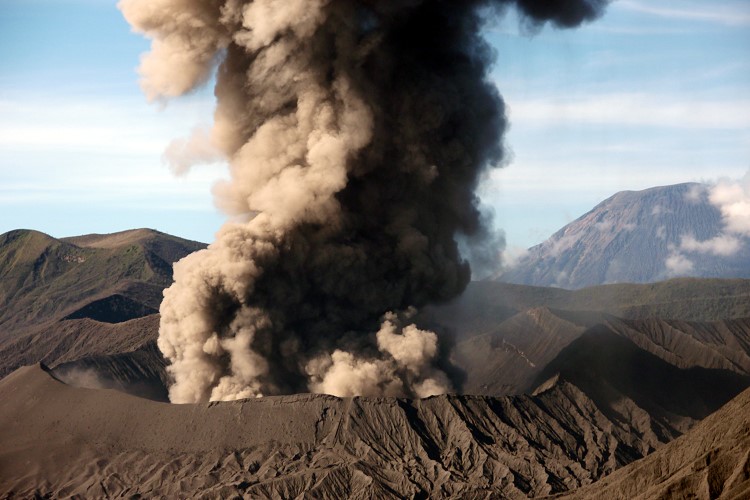
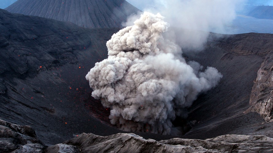
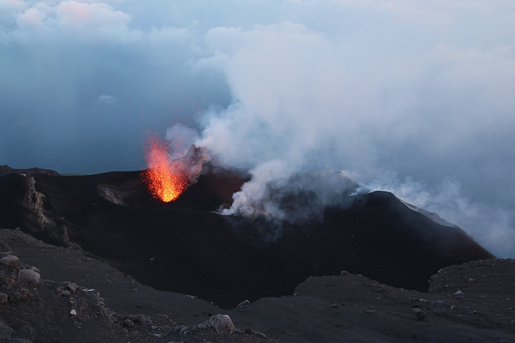
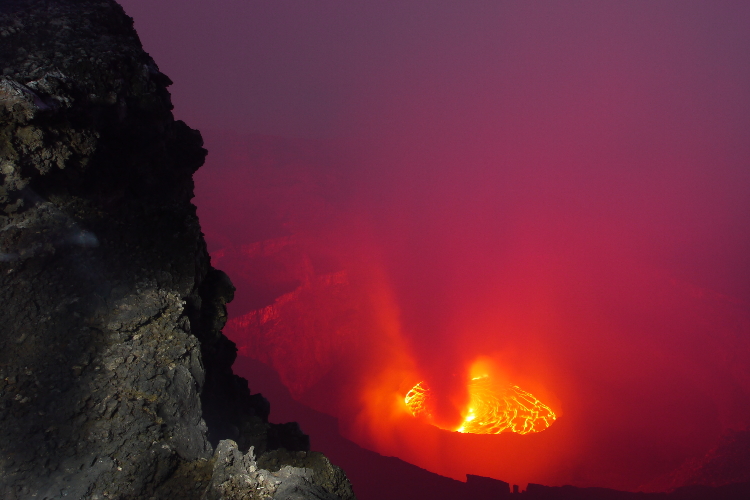
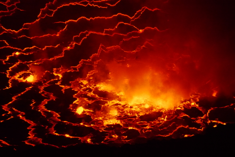
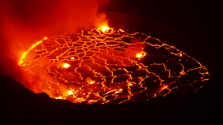
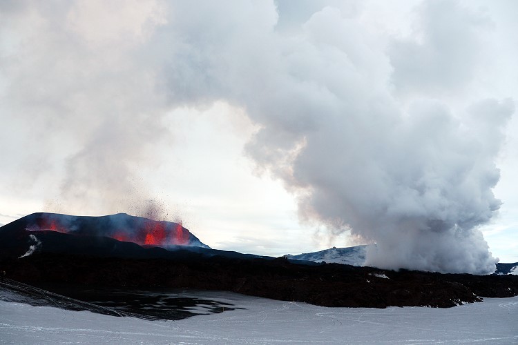
November 17: The activity had decreased so much that we dared to climb up to the steaming crater.
30 November: A lahar caused the river Code to overflow its banks and the mud flooded several houses. 400 people had to flee.
December 04: Activity continued to decline sharply. Downgraded to warning level Orange
A total of 320 people died in this volcanic eruption.